
4th graders get free entry to U.S. national parks. Celebrate with a private Zion family adventure from All Ways Adventure. Safe, expert guides, all ages welcome.
Visiting Zion during monsoon season? Learn about flash flood safety, slot canyon risks, desert rainstorms, and the incredible waterfalls that appear after summer storms.
How to Plan the Perfect Weekend Don't let the logistics of a Zion National Park bachelorette party stress you out. At All Ways Adventure , we handle the "heavy lifting" so the maid-of-honor can actually enjoy the trip. From providing all the technical gear for your first rappel to recommending the best hidden sunset spots, our Adventure Consultants are your boots-on-the-ground experts. We'll help you build a custom itinerary that’s as bold as the bride. Book your custom Kanab & Zion Bachelorette Adventure today.
Planning a Zion National Park bachelor party? Skip the crowds! Discover why Kanab is the ultimate adventure basecamp for offroad tours, canyoneering, and epic brotherhood.
Discover the freedom of Utah’s public lands. A reflection on roaming 38 million acres of "stars, sandstone, and silence" and the duty to preserve our inheritance.
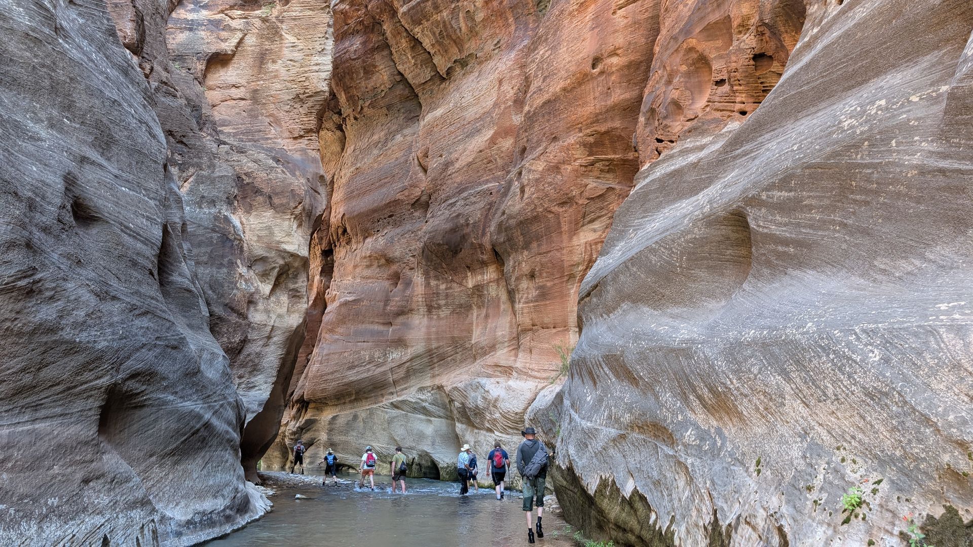
The Biggest Limitation of a Guided Narrows Hike This is the part most people don’t realize before booking. On a guided Narrows hike, there is a mandatory turnaround point at the junction with Orderville Canyon. This is right at the beginning of the famous Wall Street section. To reach that point, you’ll hike: About 1 mile on the paved Riverside Walk , plus About 1.5 miles in the river You will likely see many independent hikers continuing past this point into Wall Street . However, no reputable guide service will: Continue beyond this point Split the group Allow guests to hike ahead without the guide If your goal is to go deeper into the Narrows, a guided trip may actually limit how far you can go. Is the Narrows Safe Without a Guide? Yes, the Narrows can be safe without a guide, if conditions are good and you’re prepared . The main risks to be aware of: Flash floods (weather-dependent and serious) Cold water, especially outside peak summer Slippery rocks and uneven footing Many hikers safely complete part of the Narrows on their own each year, but it’s important to check conditions and be realistic about your comfort level. What Most People Underestimate About the Narrows A few things catch people off guard: The current : Even when water levels are considered “normal,” the flow can be stronger than expected Footing : Walking on submerged, uneven rocks takes more effort than a typical trail, especially when the water is "chocolate milk" colored due to flooding Cold exposure : Water and air temperatures can be cold even on warm days This is where some hikers appreciate having a guide, especially if they’re unsure what to expect.
Visiting Zion for Memorial Day 2026? Learn how to avoid crowds, skip shuttle lines, and discover the best off-the-beaten-path adventures near Zion.
Planning a Southern Utah adventure? Our Zion guides are ready for spring break with new canyoneering spots and private Zion tours. Book your Kanab basecamp trip today!
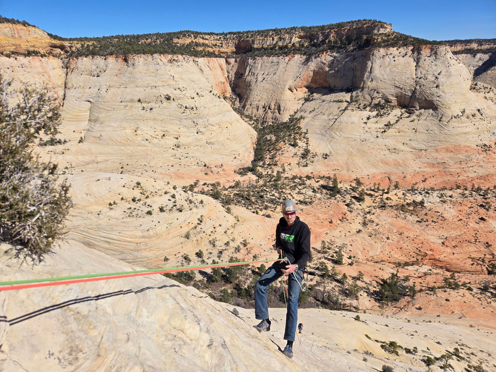
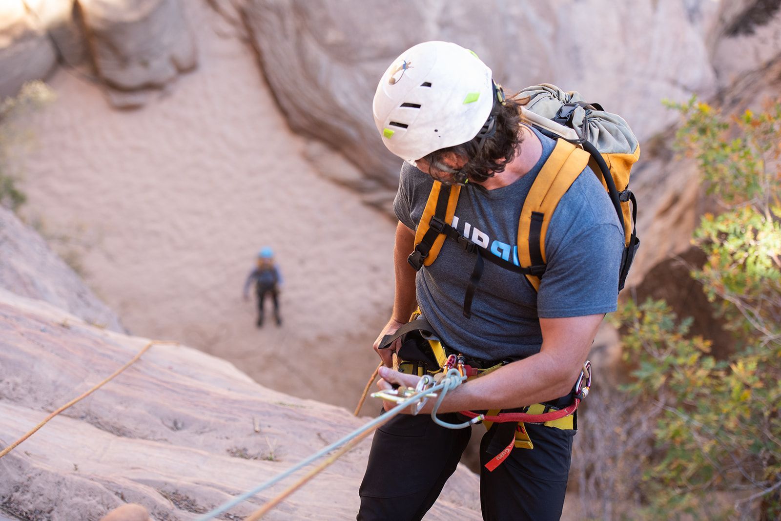
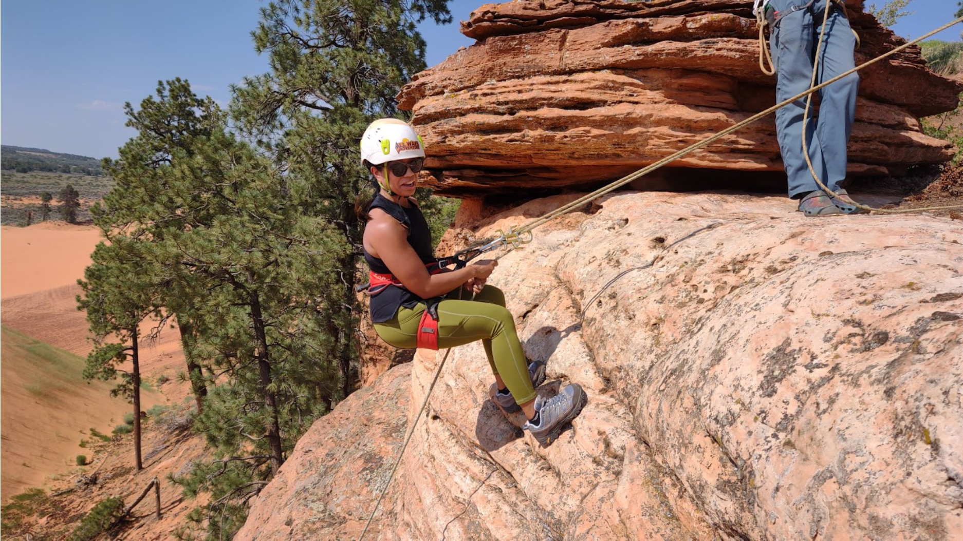
Think rappelling is only for adrenaline junkies? Discover why technical canyoneering is actually safer and more accessible than you think with All Ways Adventure.
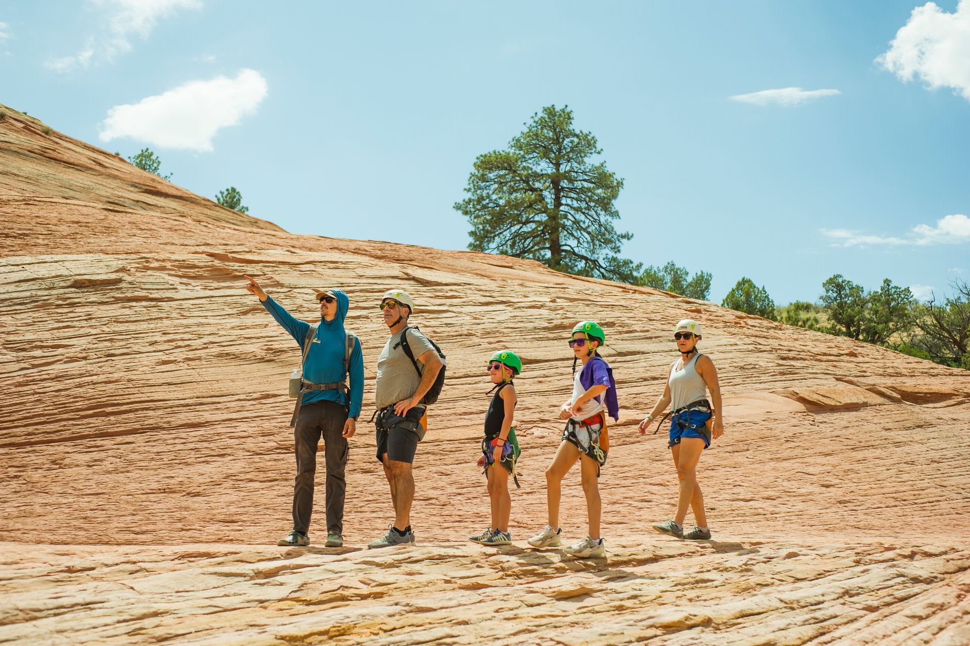
New to canyoneering? Learn what to expect, what to wear, and how to choose the right beginner-friendly tour with All Ways Adventure.
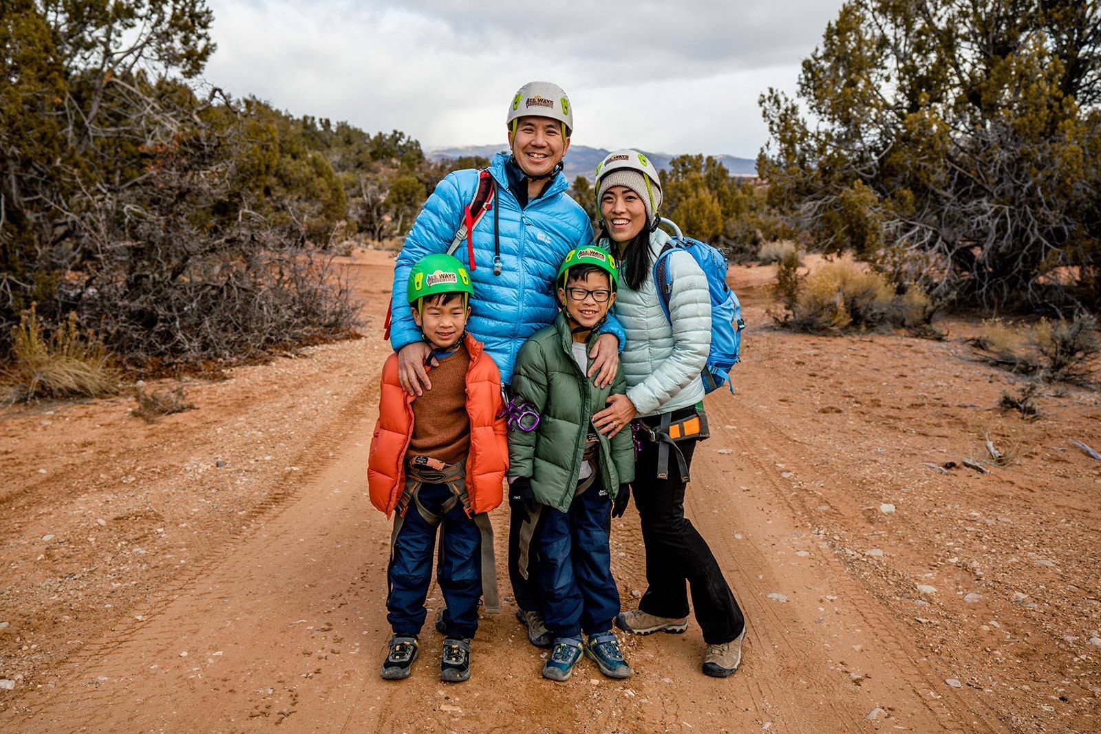
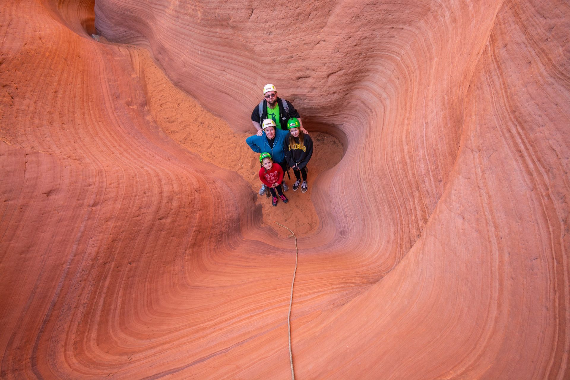
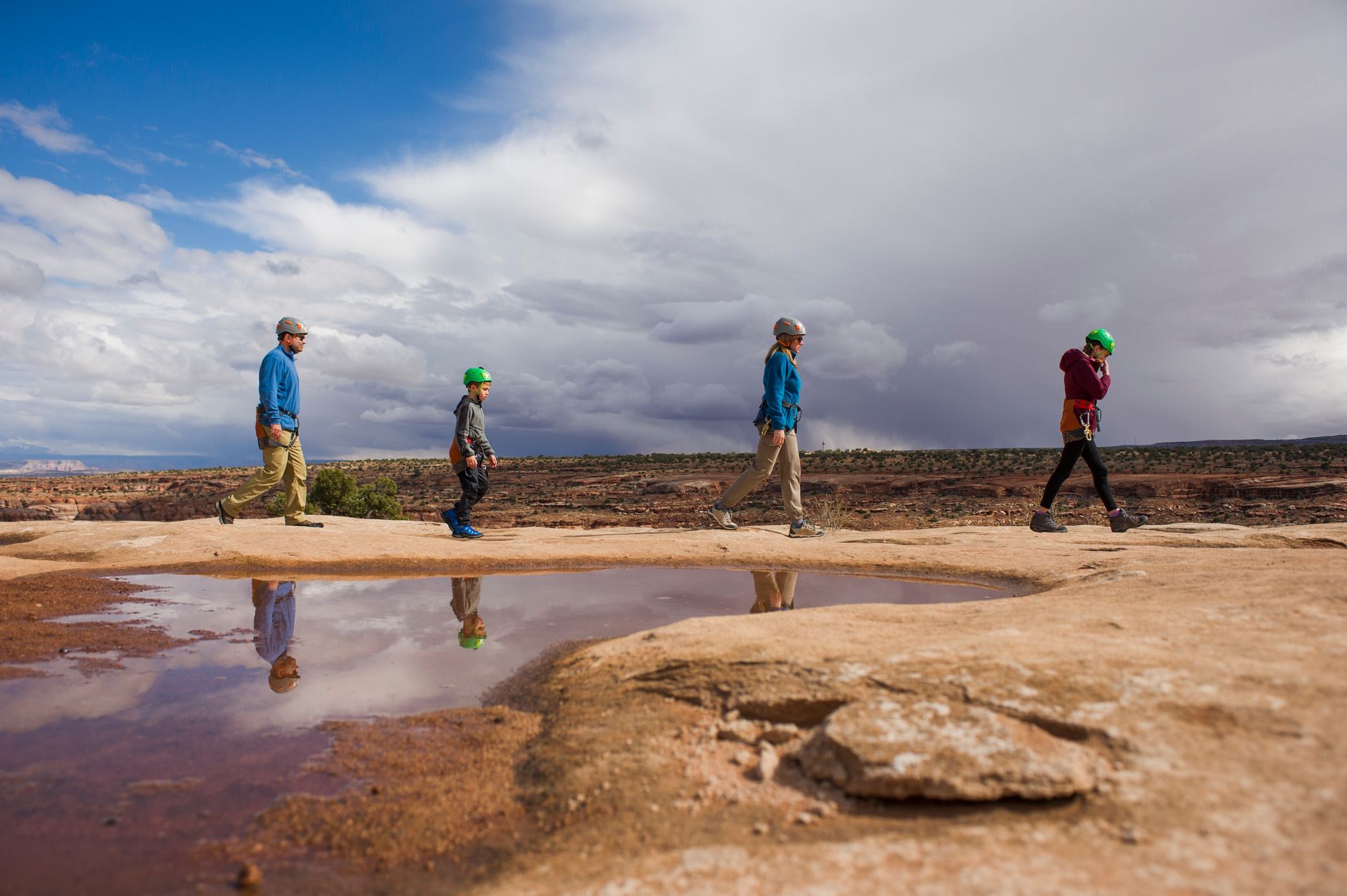
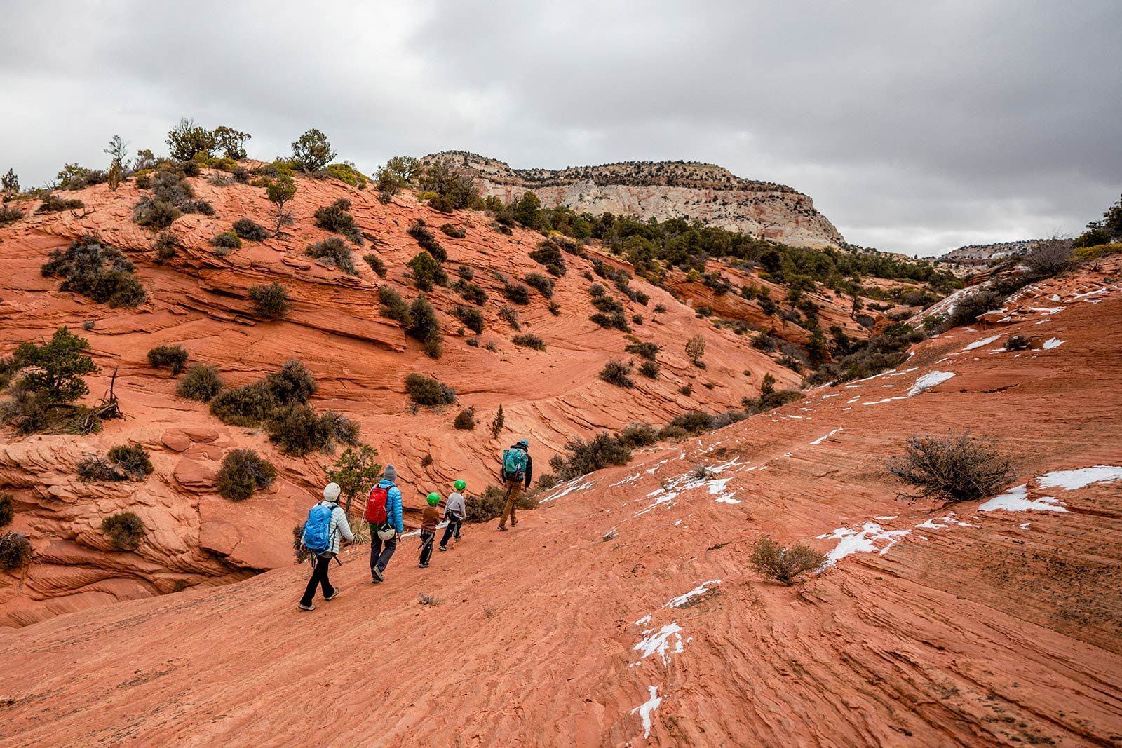
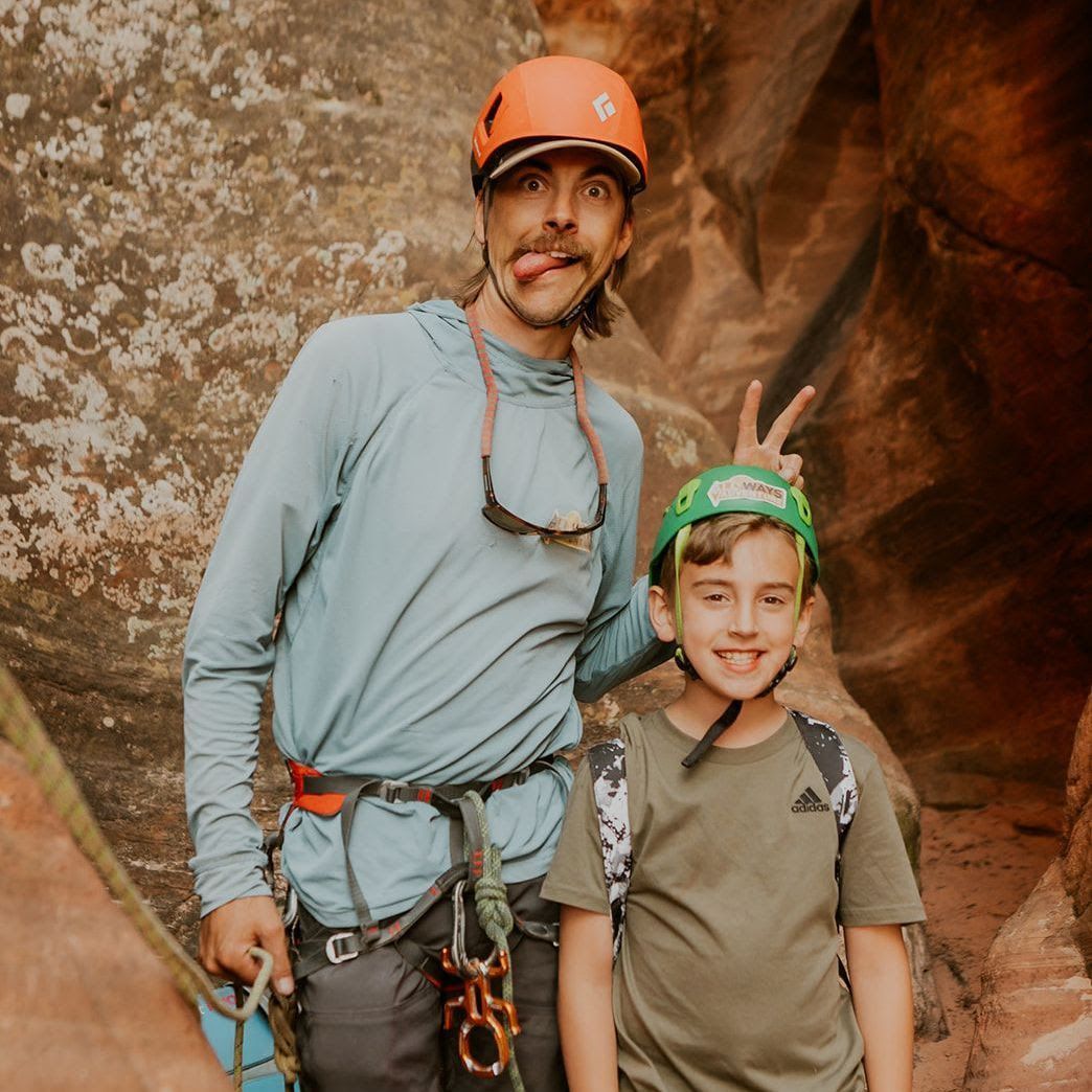
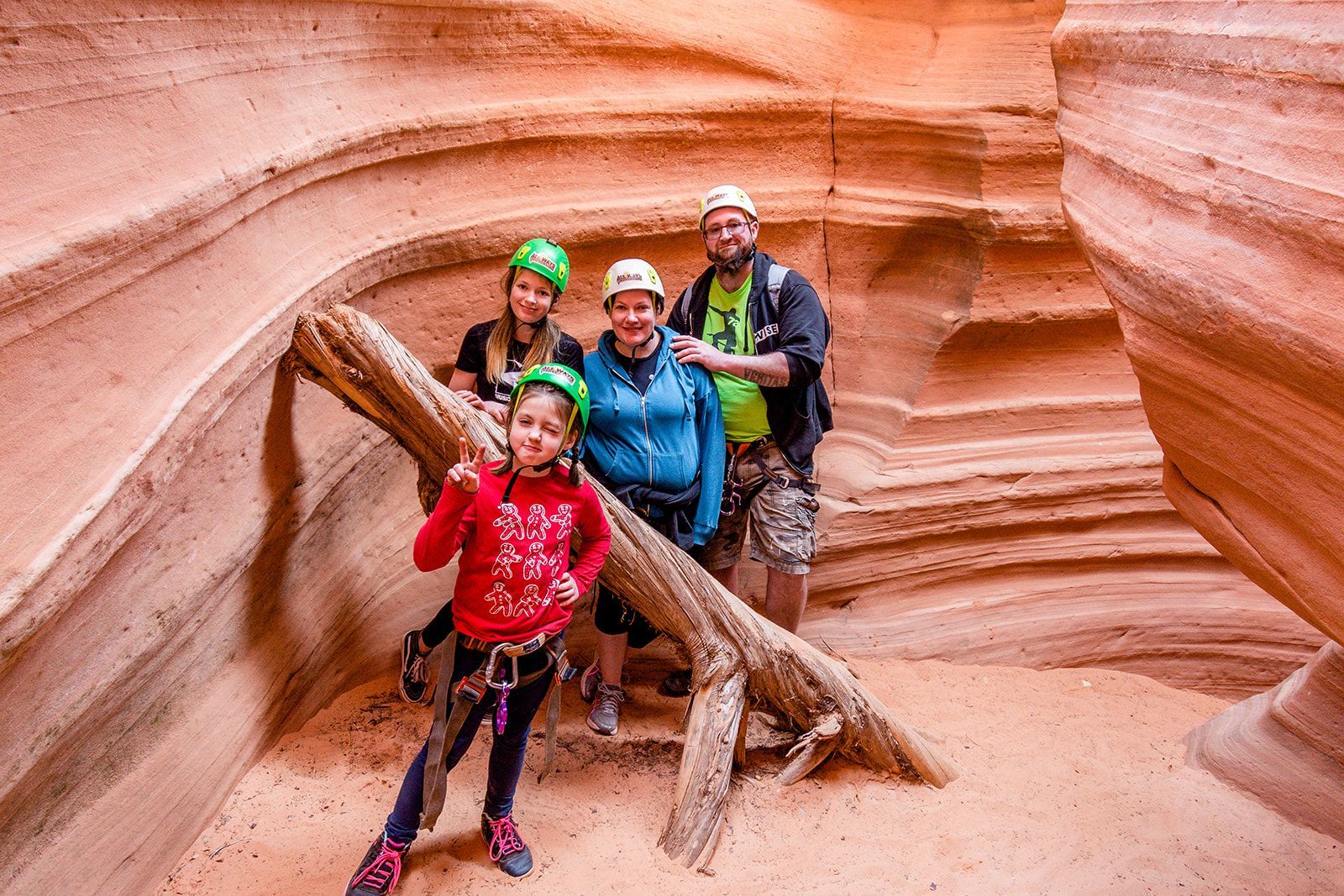
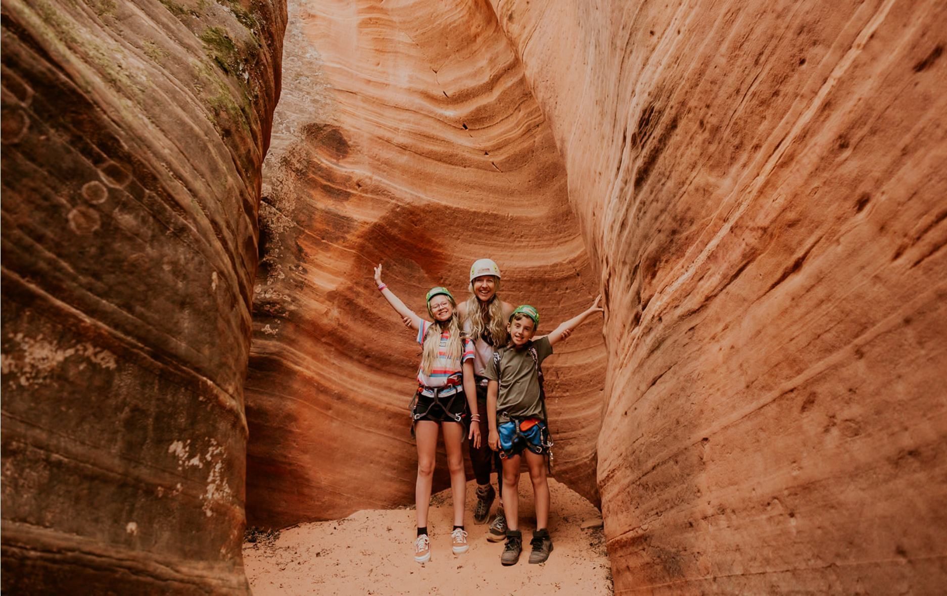
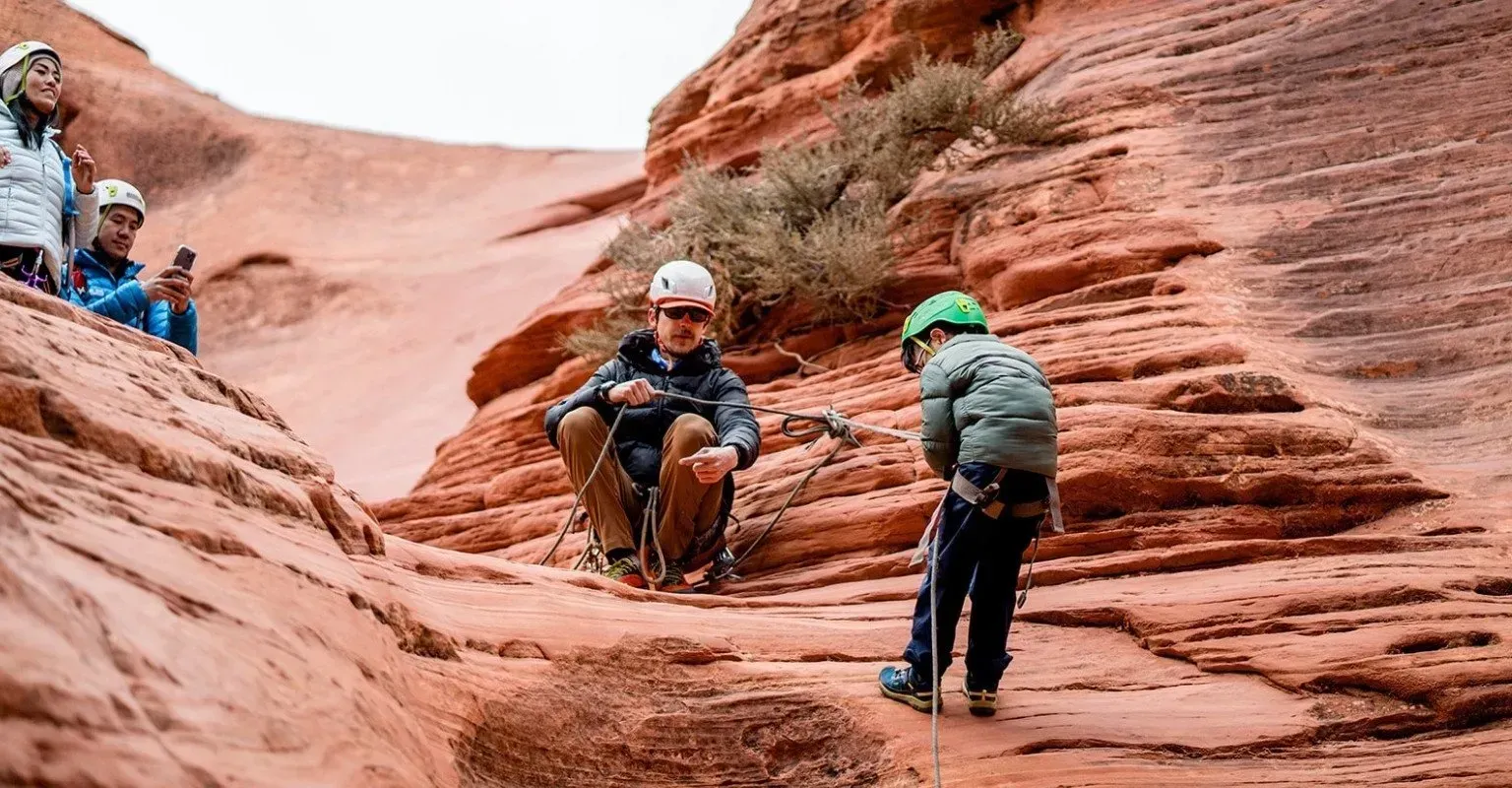
Planning a family trip to Zion? Discover kid-friendly hikes, off-roading tours, and canyoneering adventures with AllWays Adventure.
Discover why spring is the best time to visit Zion, with March to May weather, blooming wildflowers, ideal water levels, and top spring activities with AllWays Adventure.
The Storm & The Bathrobe
Planning a Zion RV trip in 2026? Learn how to get around the Zion tunnel closure with the best alternate routes, RV tips, and Kanab travel ideas.
An aggressive viral itinerary nearly ruined our trip. Learn the difference between information and influence, and how critical thinking leads to safer, better adventures in the wild.
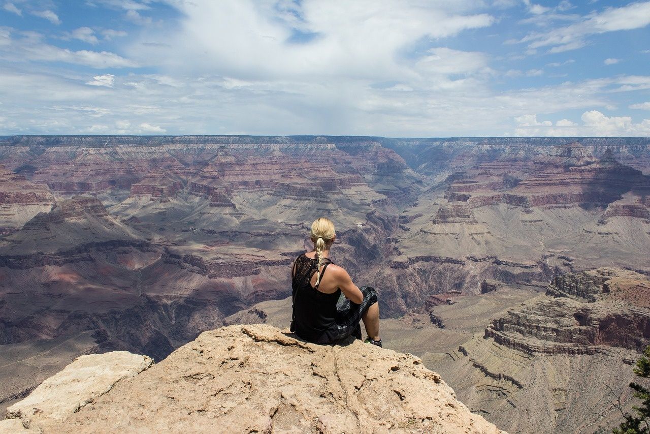
Visiting Zion, Bryce Canyon, or the Grand Canyon in 2026 as an international traveler? Learn how to avoid paying $100 per person and make your Southwest trip affordable.
Planning your first trip to Zion? This guide covers permits, shuttles, where to stay, top hikes, and insider tips from local guides at All Ways Adventure.
Forget the bows and boxes. Read Jillian's personal story about how giving her dad an annual adventure for 10 years deepened their bond and inspired All Ways Adventure.
Discover the value of attention in a world designed to capture it. From a 10-day Vipassana meditation retreat to immersive outdoor adventures, learn how to slow down, notice the world, and experience moments that make life truly wild and precious.
Stuck on gift ideas for the adventurer in your life? This guide features the best gear, books, and experiences that support conservation and local communities in the Southwest.
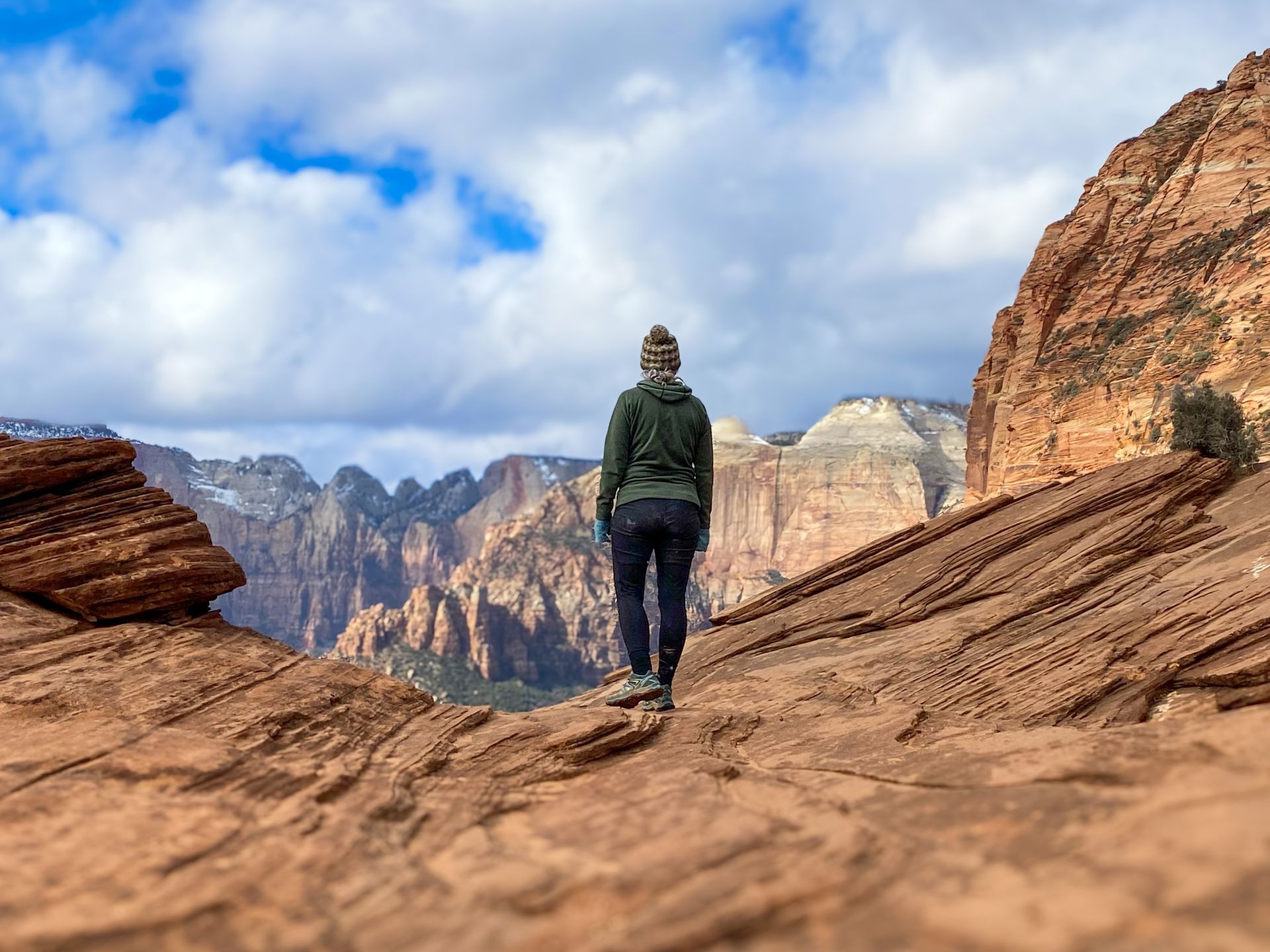
Planning a winter hike in Zion National Park? Discover insider tips, trail conditions, and the best routes for your skill level in this comprehensive guide.
Plan your safe and scenic fall canyoneering trip in Zion National Park. Get expert tips on the best routes, essential gear, and crucial safety information.
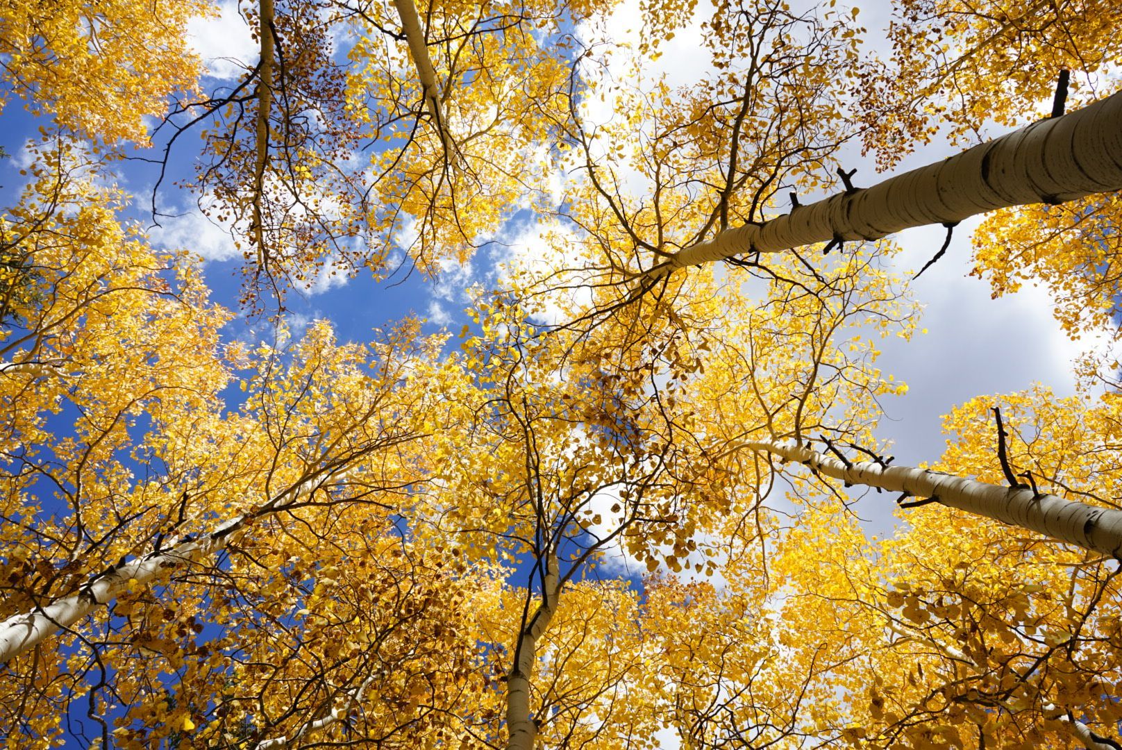
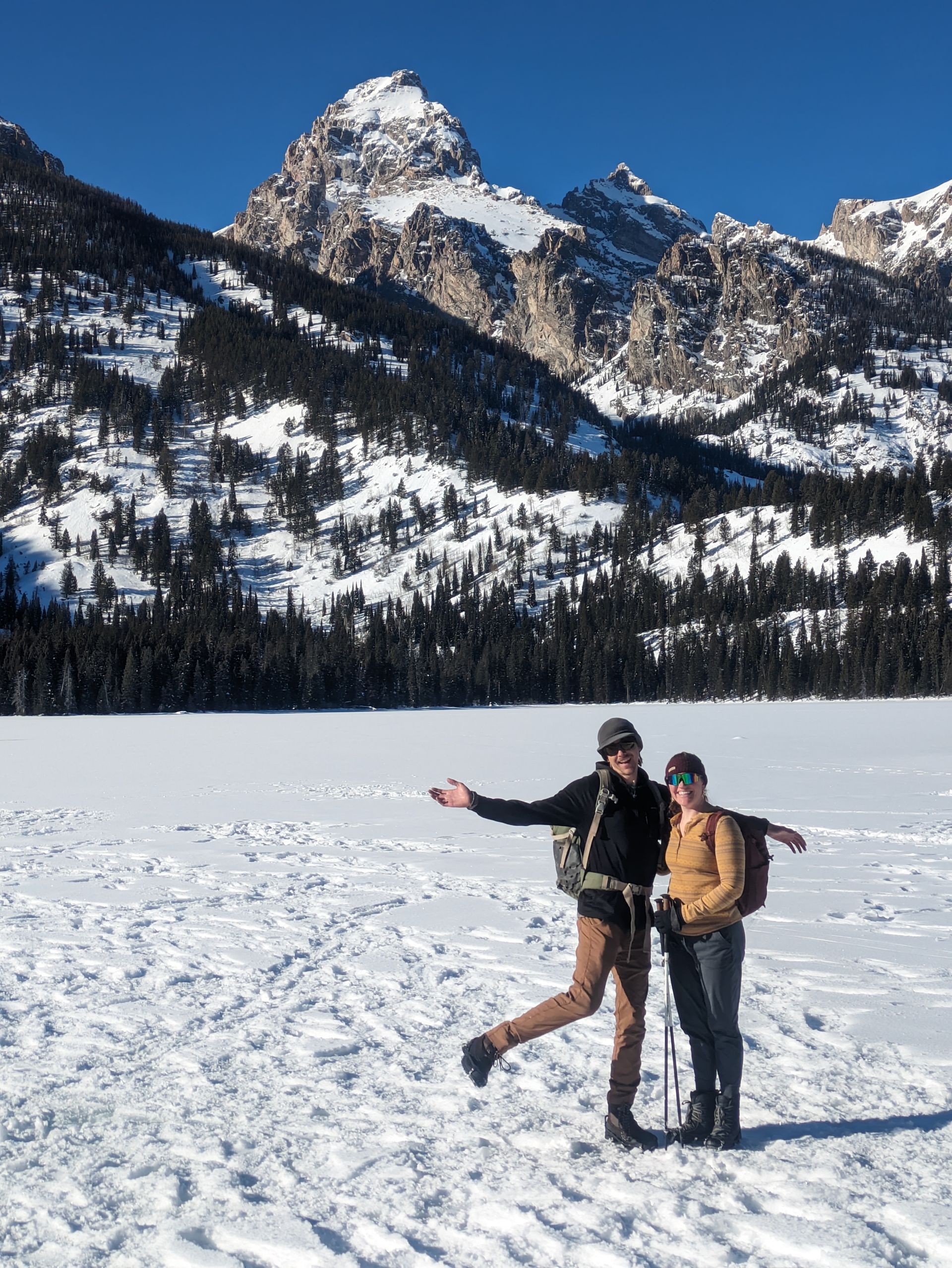
The best places and times to see fall colors in Southern Utah. Our guide gives you the inside scoop on Zion's stunning autumn foliage.
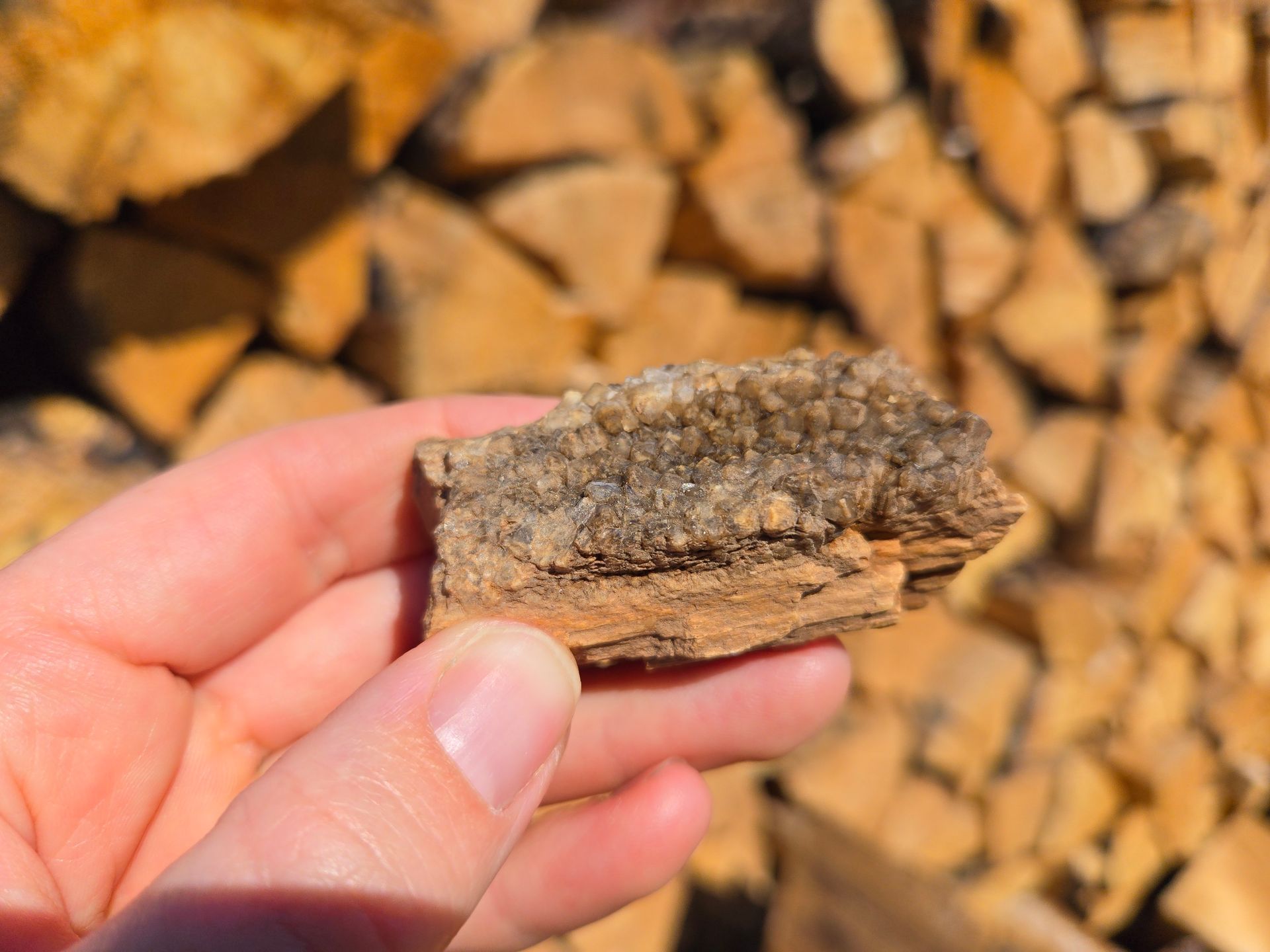
Discover the ancient beauty of petrified wood in Southern Utah. Join All Ways Adventure for a guided fall tour through this fascinating natural wonder.

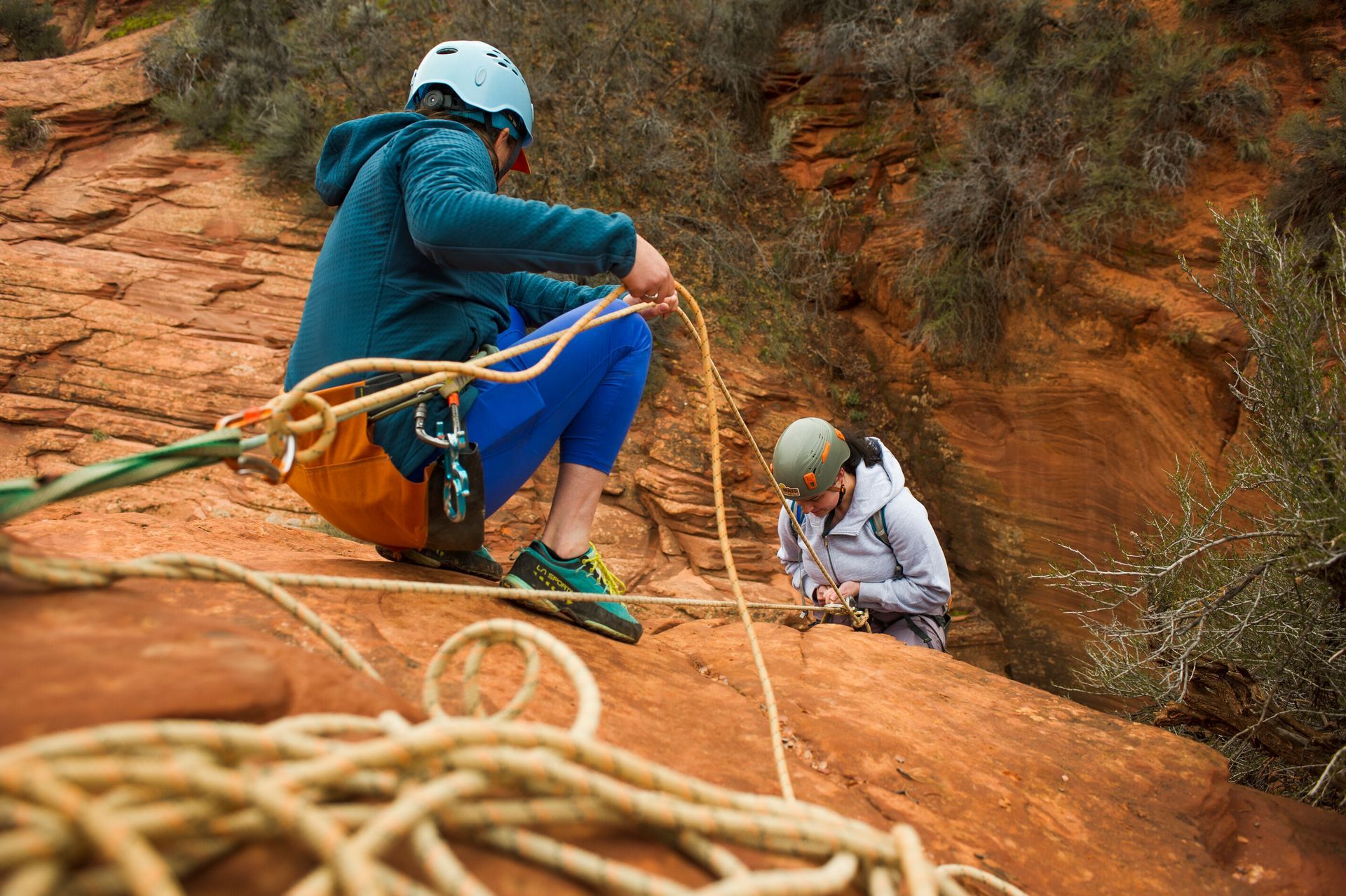
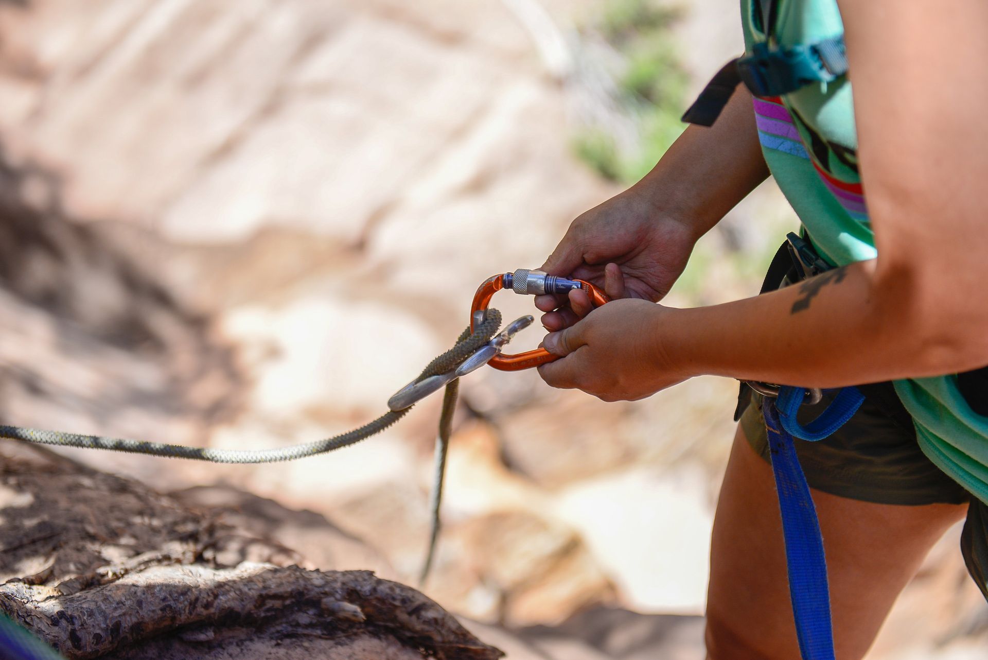
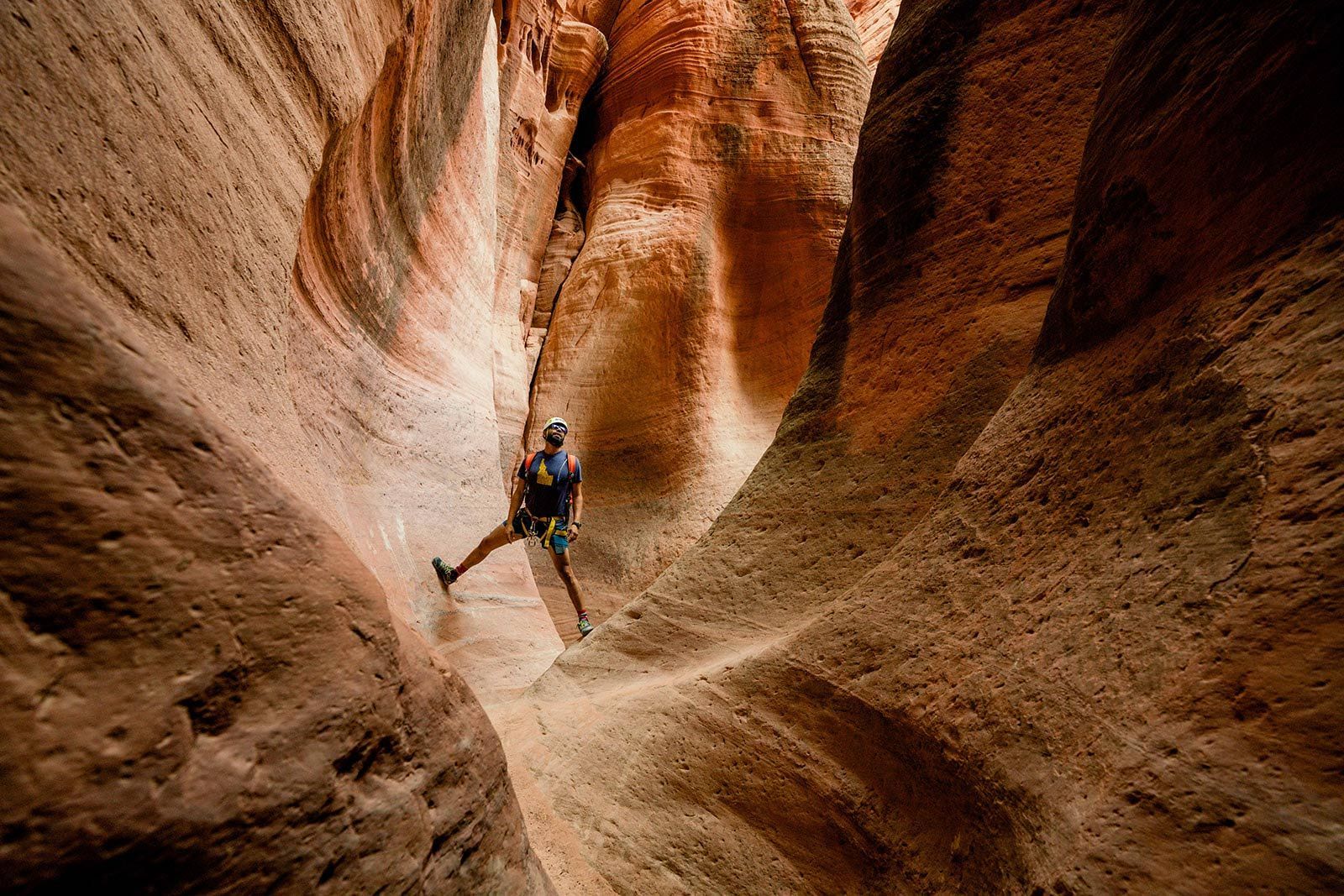
Curious about Zion canyoneering or rock climbing? Learn the key differences, gear needs, and expert tips to choose your ideal adventure.
A personal tribute to the beloved North Rim Lodge—its memories, meaning, and the canyon community it touched. A reminder to savor the places and people we hold dear.
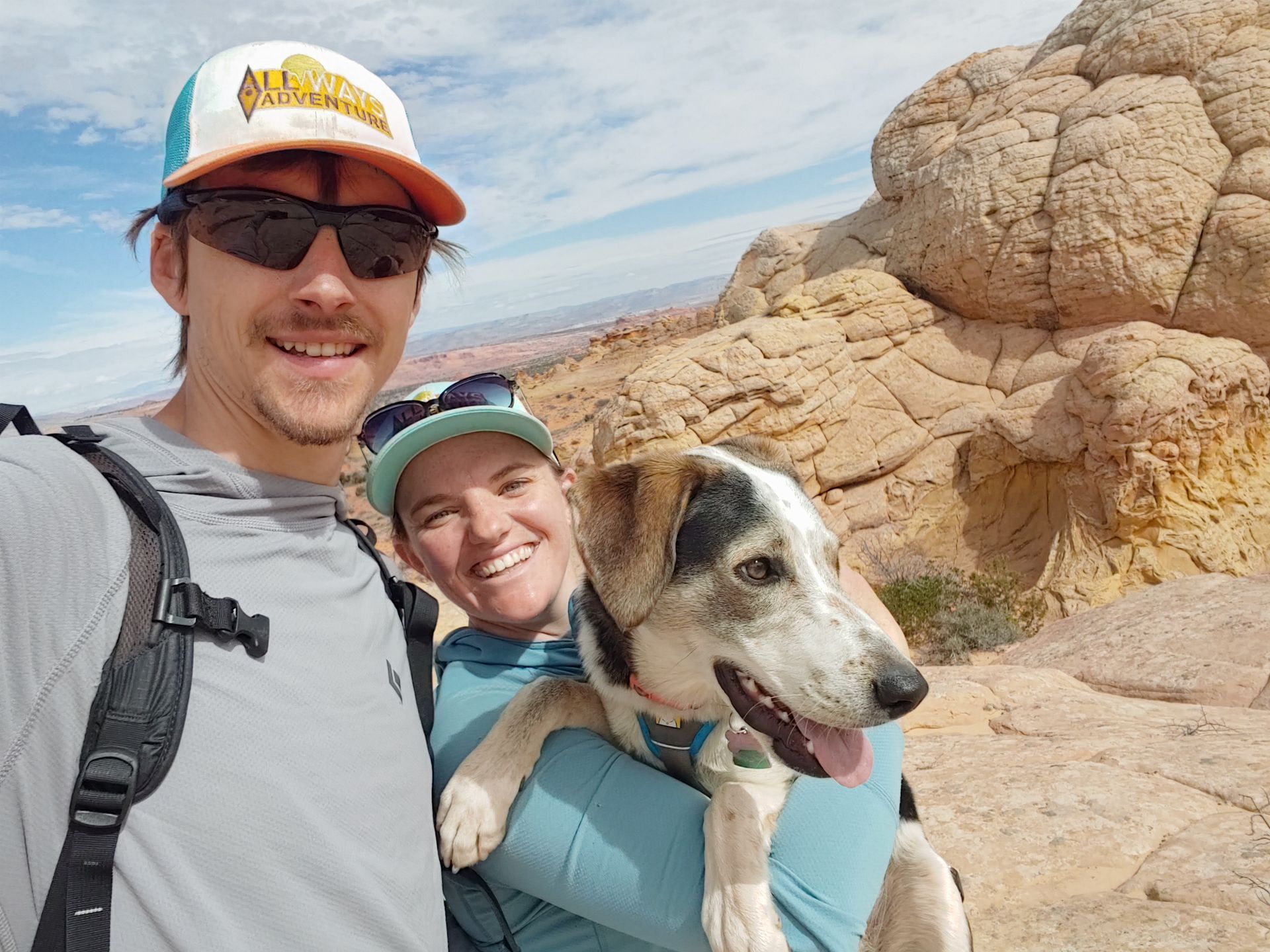
Hike Zion with Wren, our beloved trail dog! From cow pie baths to canyon storms, discover her story—and request her on your next guided adventure with All Ways Adventure.
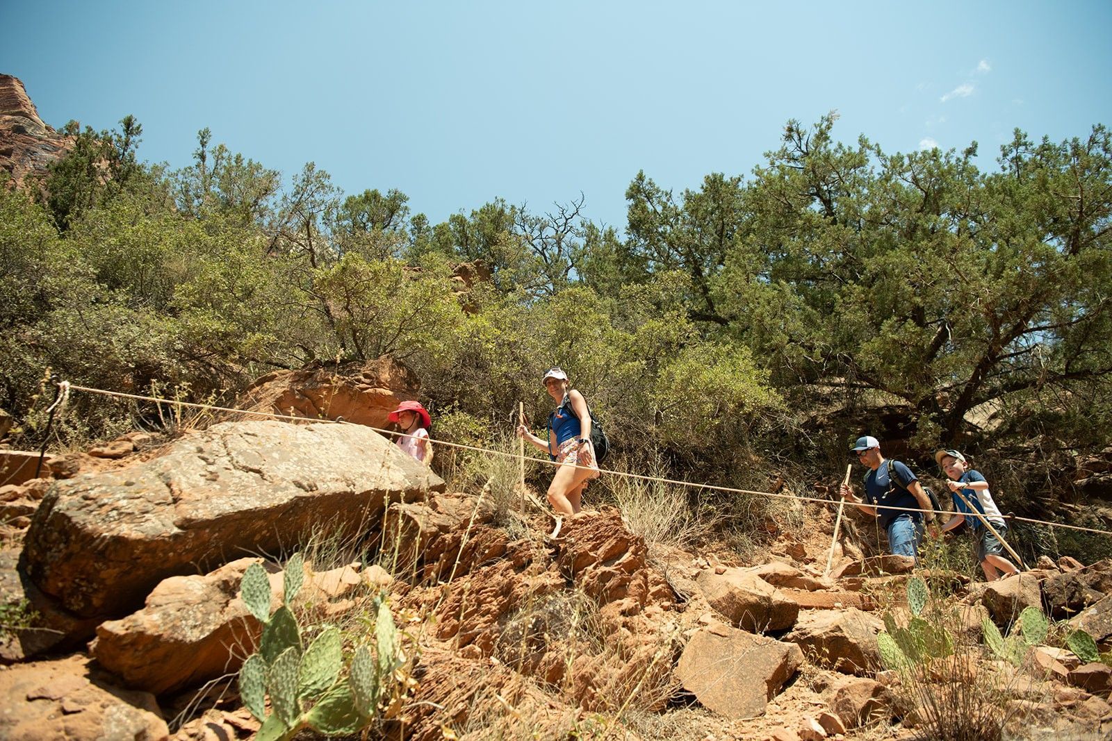
Beat the heat with early starts, shady canyons, and cool rides. All Ways Adventure customizes summer trips in Southern Utah for comfort, safety, and unforgettable desert experiences.
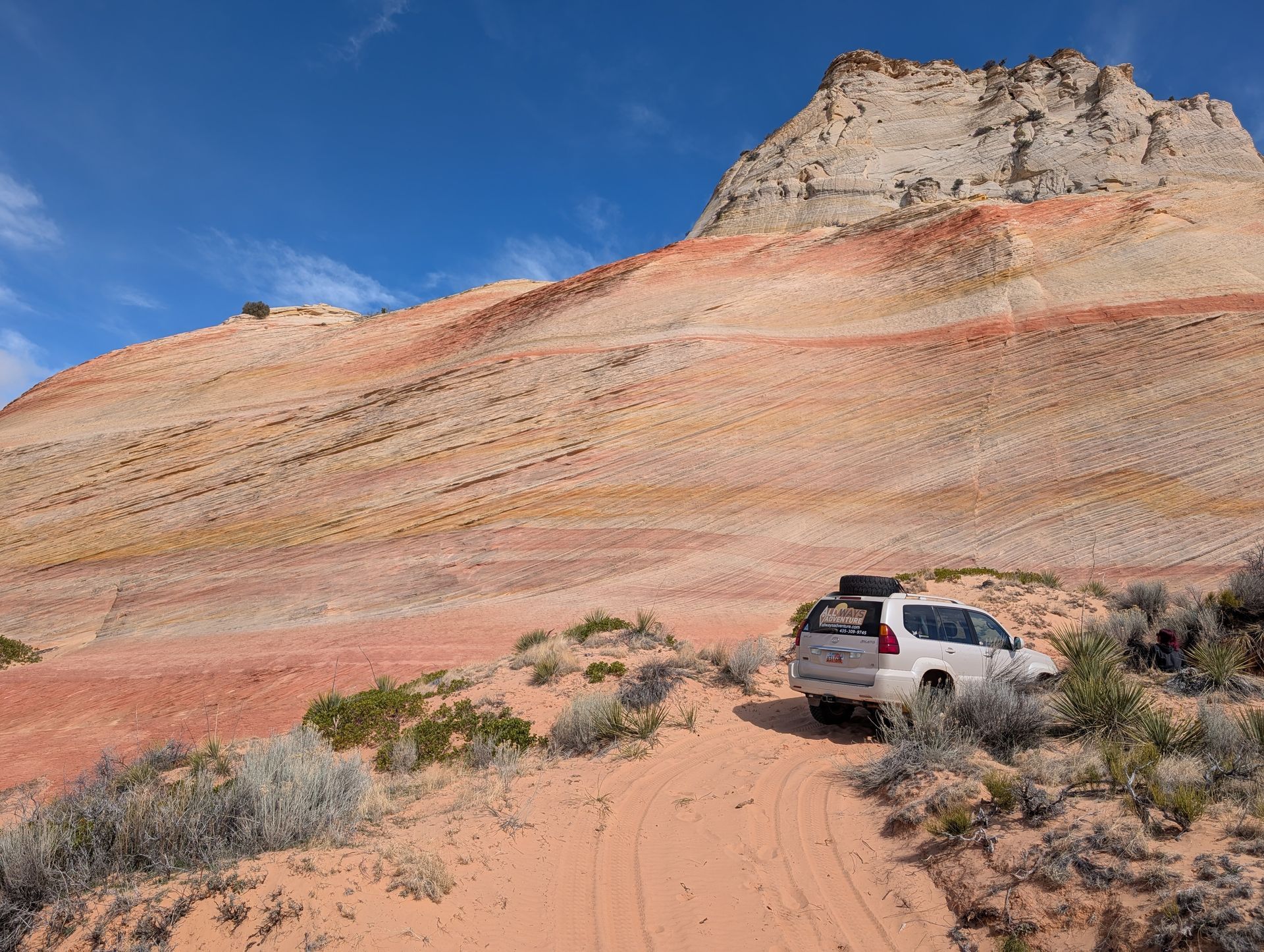
Explore the best canyoneering in Utah just outside Zion. Discover top routes, expert tips, and unforgettable adventures—no permits required. Plan your private guided trip with All Ways Adventure.
Torn between hiking and canyoneering in Zion? This guide breaks down the key differences so you can pick the adventure that fits your style, skill level, and thrill factor—no guesswork needed.
Wondering if Canyoneering in Zion is safe for beginners? Discover what to expect, expert tips, and how to start your first canyon adventure with confidence.
What began with low expectations became one of our most heartwarming trips—proving that open hearts, not trip notes, shape the best adventures.
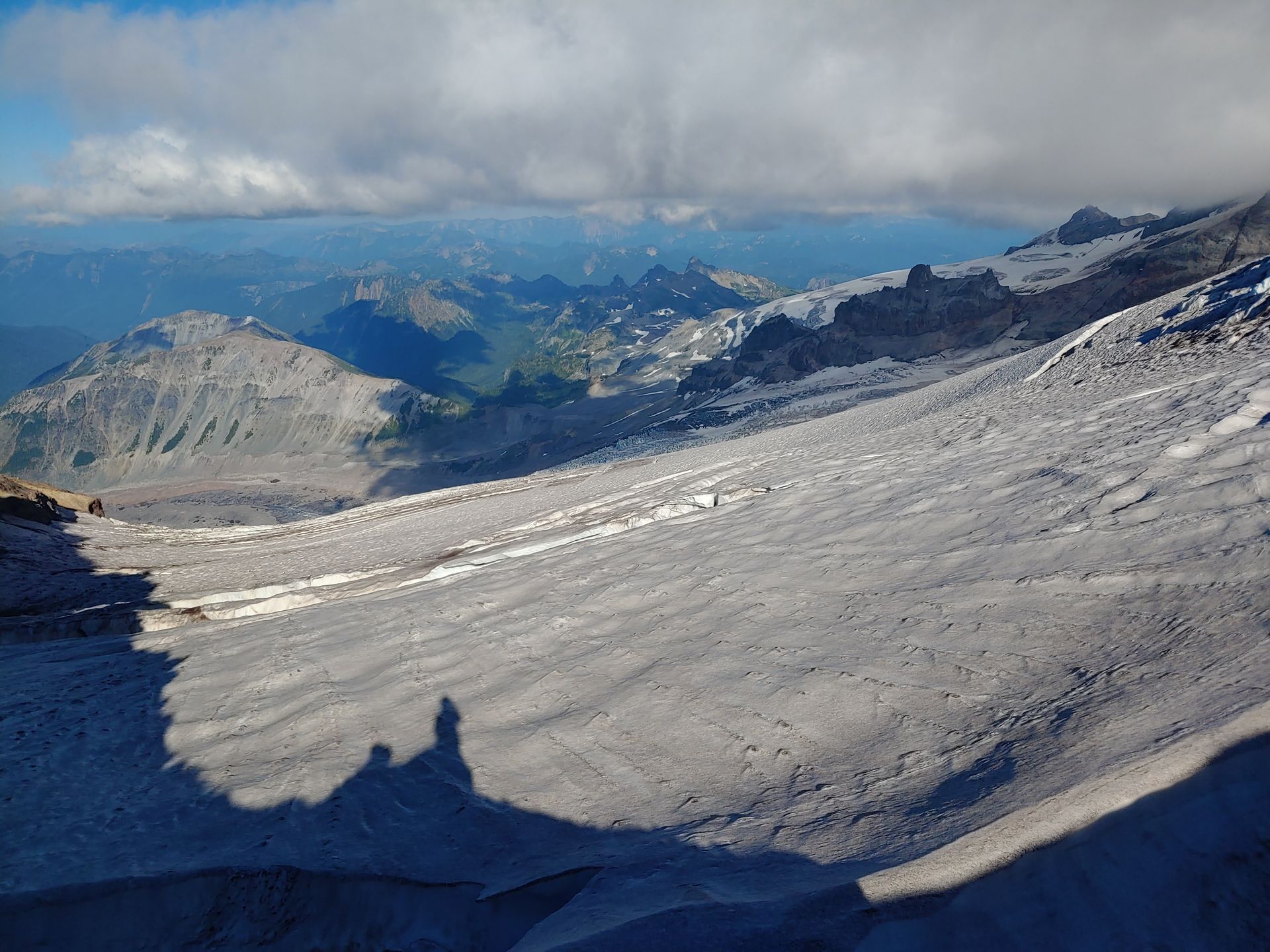
Conquering self-doubt on Mount Rainier: a journey of resilience, gratitude, and finding strength through community and nature’s challenges. An unforgettable adventure and personal transformation.
Discover secret slot canyons, epic stargazing, and expert travel tips in Kanab—your perfect base for Zion National Park adventures. Skip the crowds and explore the Southwest like a local.
Explore the top 9 adventure-filled activities in Kanab, Utah! Perfect for thrill-seekers looking to experience stunning landscapes and outdoor fun.
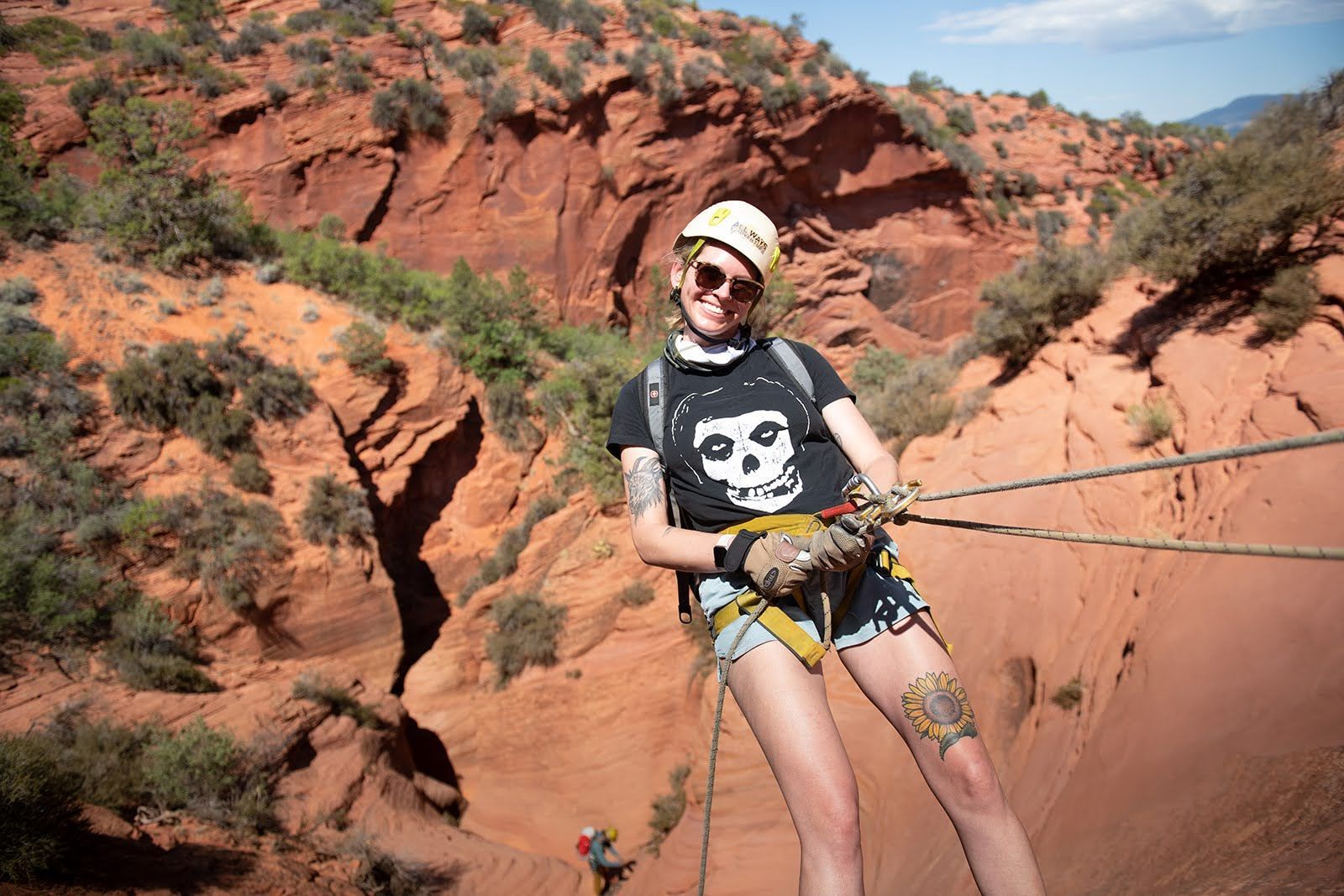
Avoid the 6 most common rappelling mistakes with expert guidance. Stay safe, use the right gear, master techniques, and enjoy a stress-free canyon adventure!
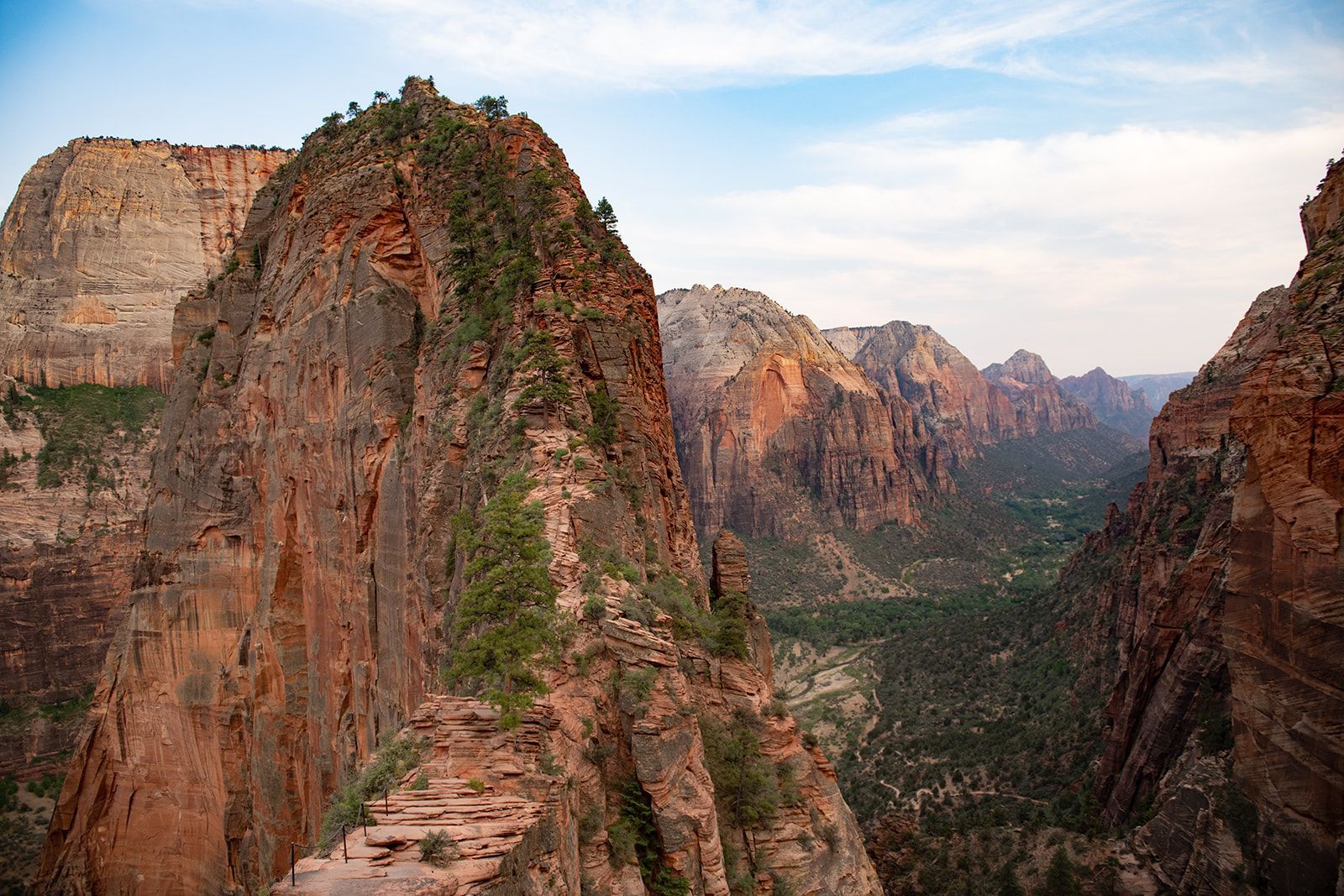
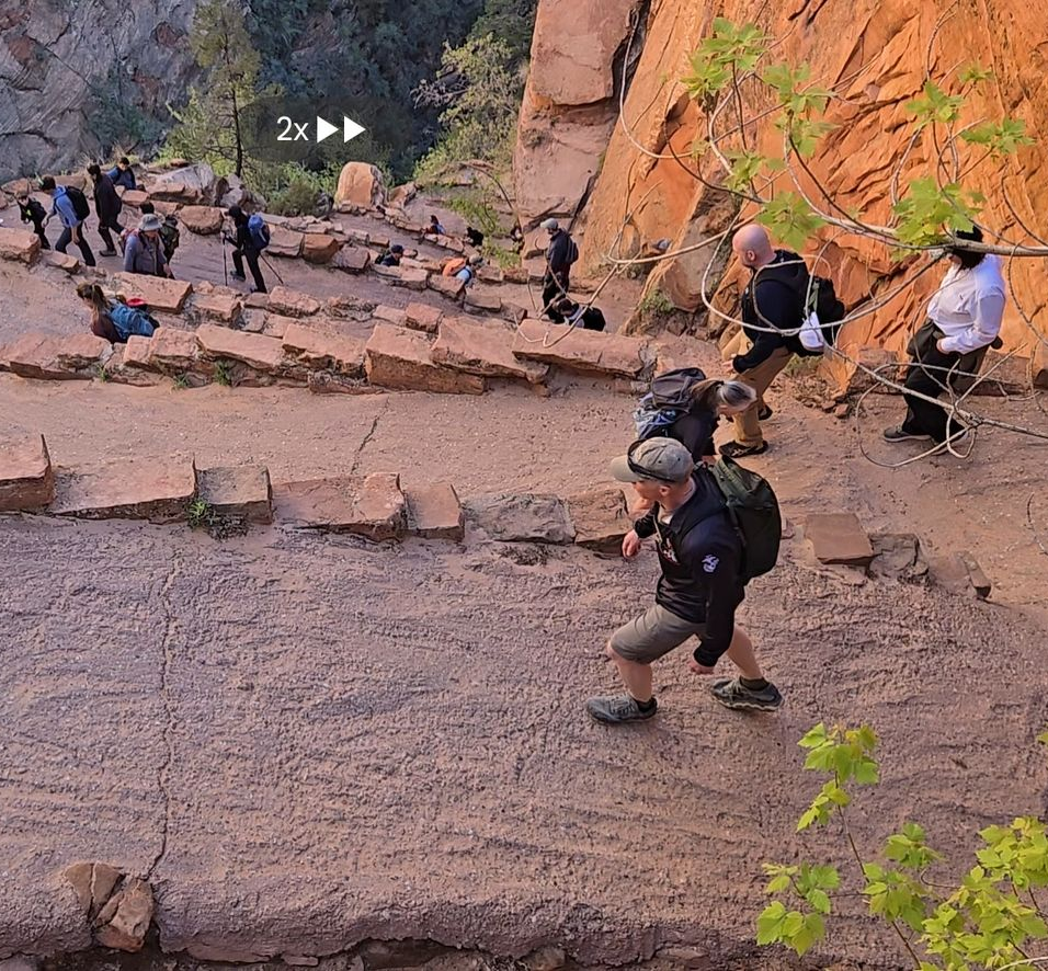
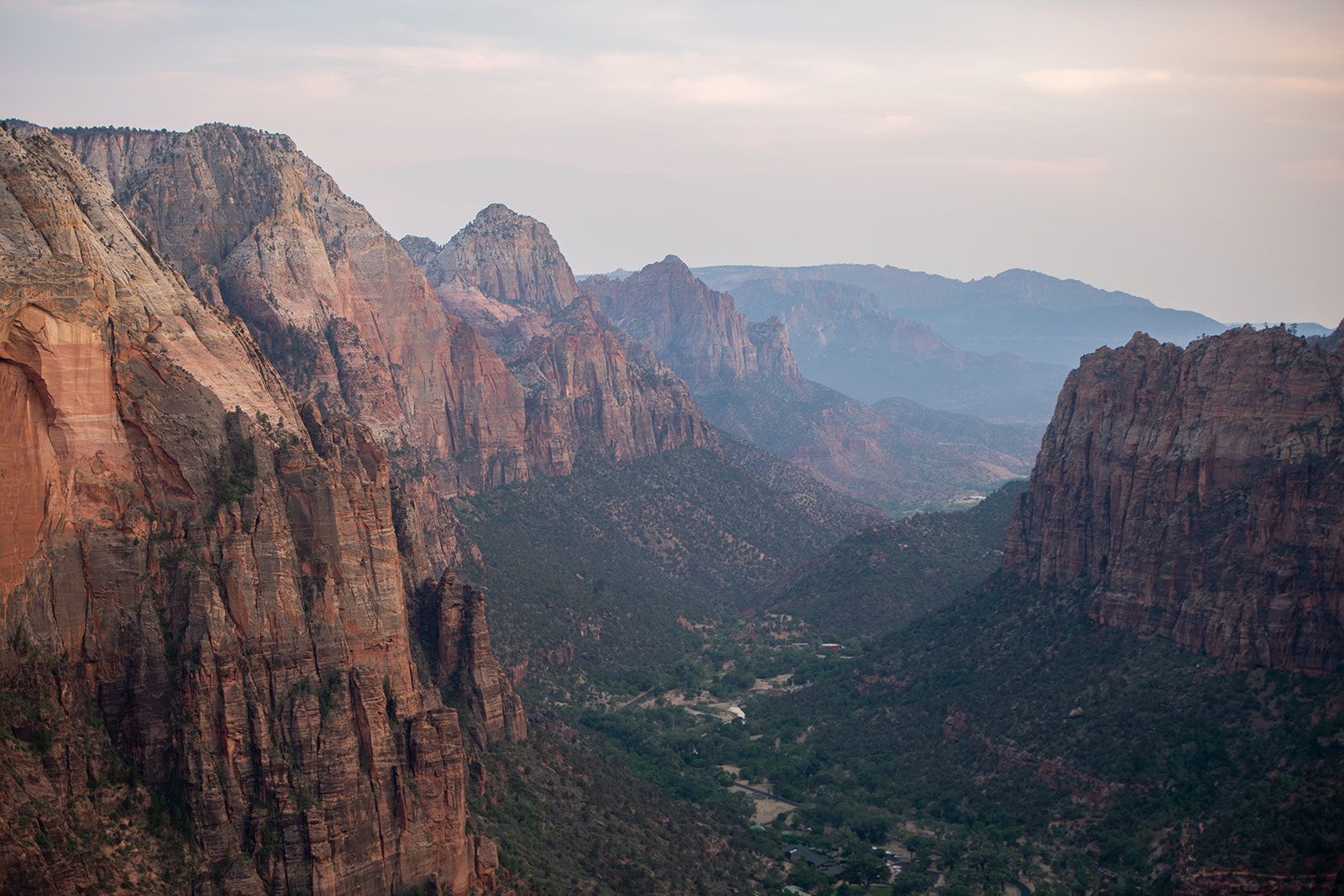
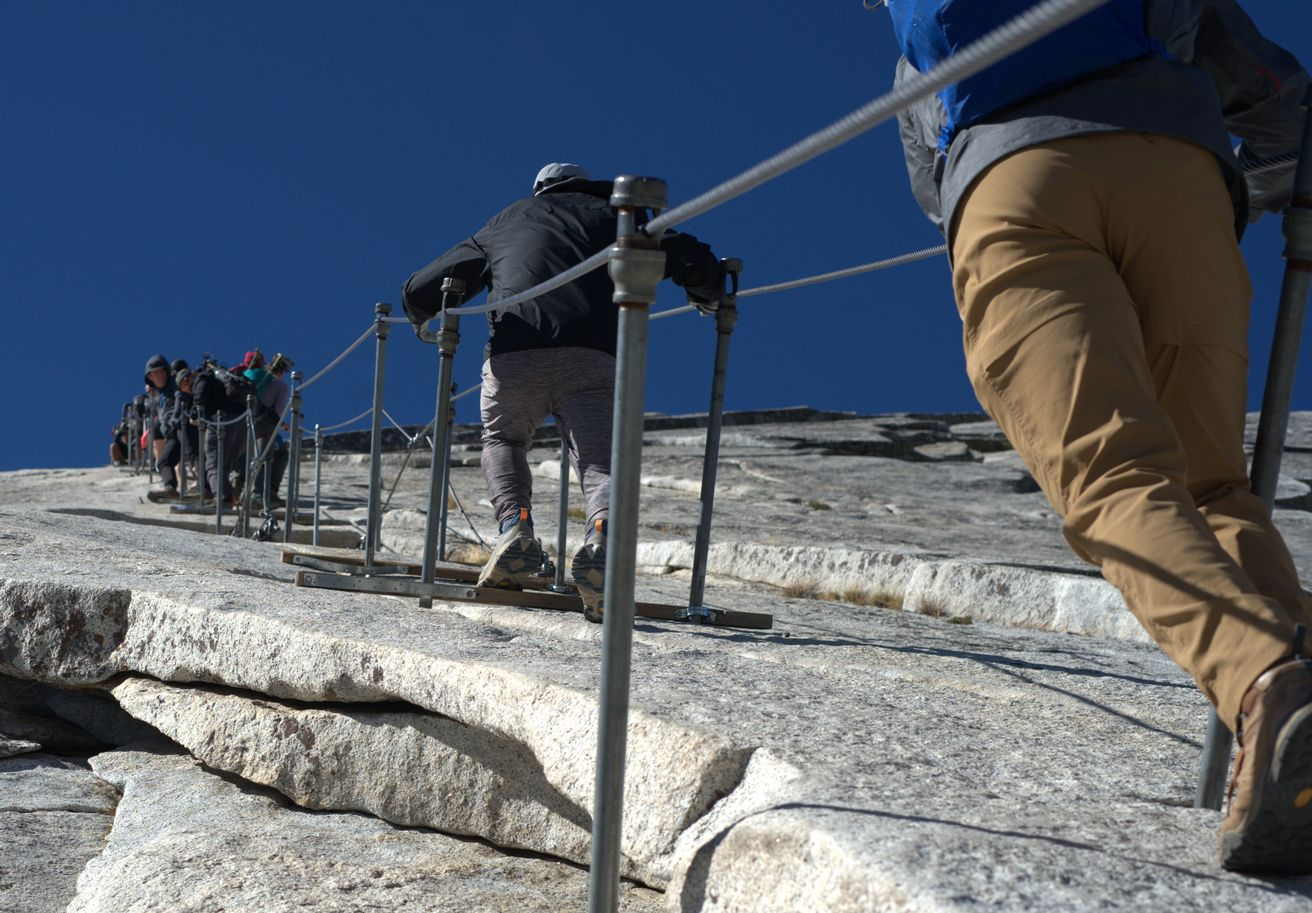
Explore the 5 sections of Zion’s Angels Landing trail—what to expect, safety tips, and why this epic hike belongs on every adventurer’s bucket list.
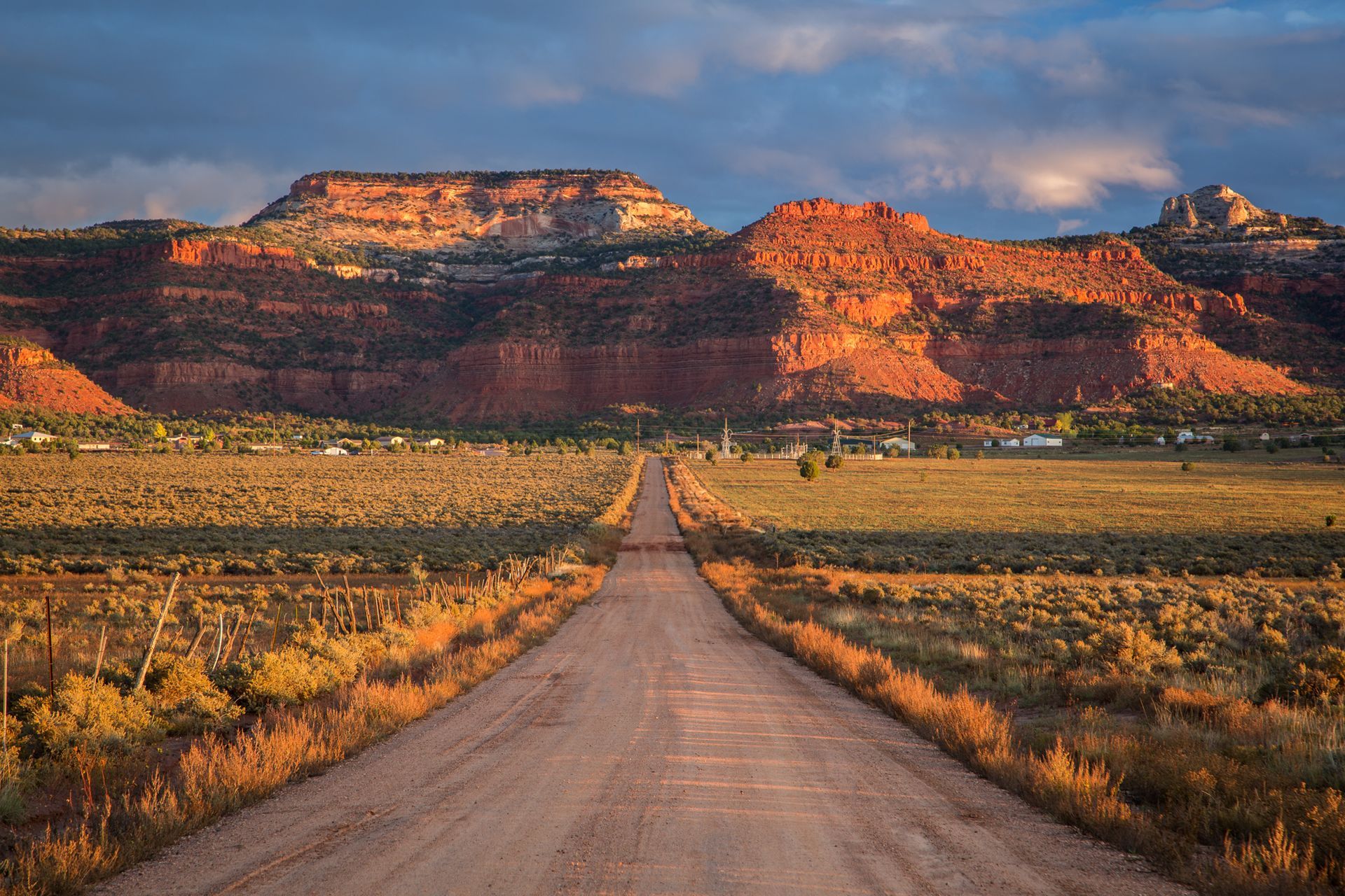
Southern Utah is a launching pad for adventure. Discover why Kanab—Base Camp Kanab—is your perfect hub for exploring Zion, Bryce Canyon, and remote desert wonders.
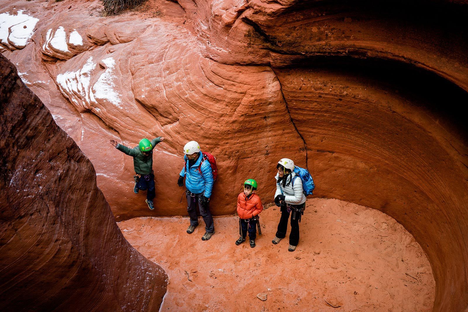
Plan a family trip to Zion! Explore kid-friendly hikes, top trails, and family adventures with our guide. Perfect for outdoor fun with kids.
Discover how guided tours in Zion National Park provide expert insights, ensure safety, and create unforgettable memories while exploring breathtaking landscapes.
Break free from the "new year, new me" myth. This guide shows you why you're already fit enough to tackle new trails and adventures in the Southern Utah desert.
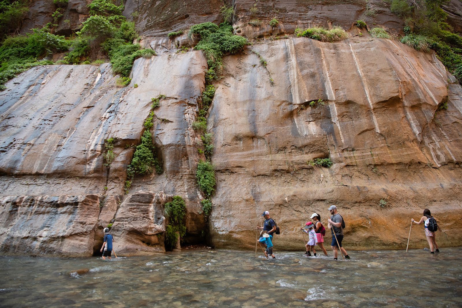
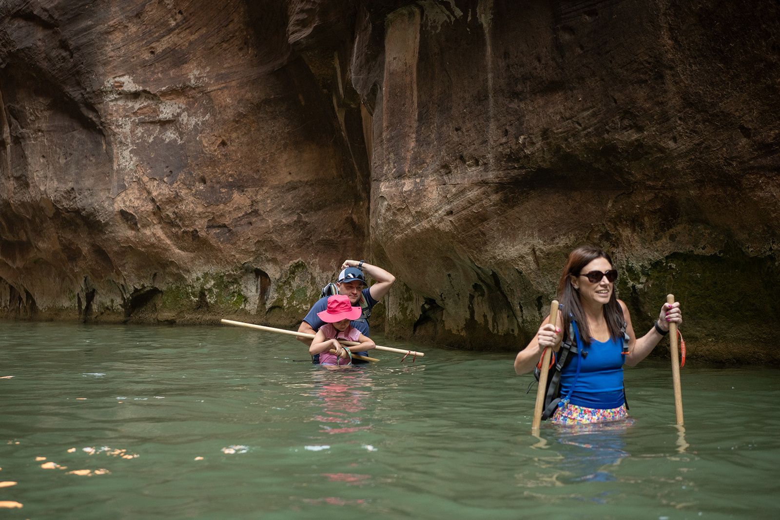
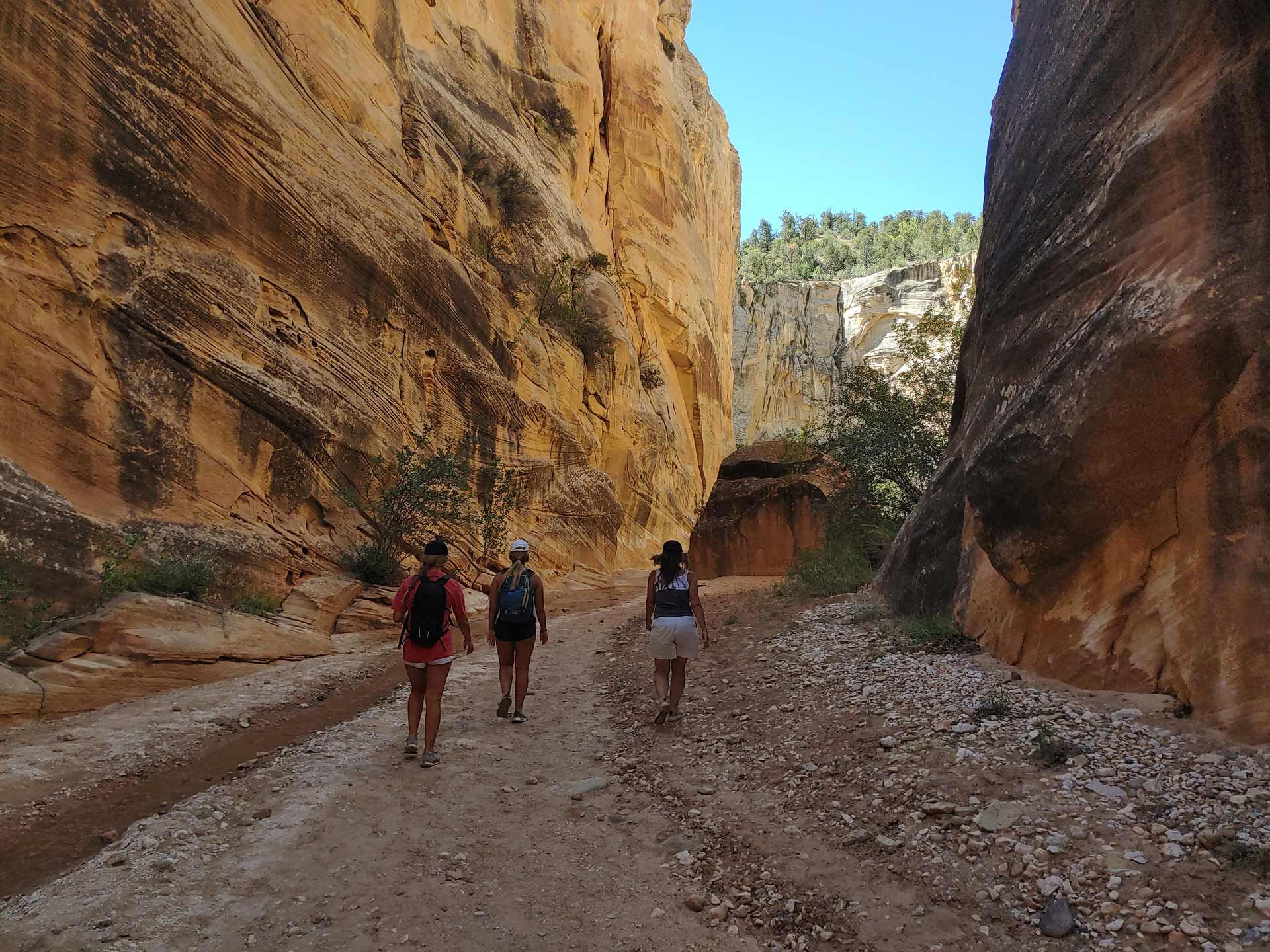
Explore The Narrows stunning hiking trail in Zion National Park, Utah, where you trek through the Virgin River surrounded by towering canyon walls.
Plan your Zion National Park trip with expert tips on top attractions, scenic routes, and travel guides. Explore Zion's breathtaking trails and unique landscapes.
Learn how to adventure responsibly with our guide to Leave No Trace principles. Discover how to protect the Southwest's delicate landscapes and cultural sites on your next trip.
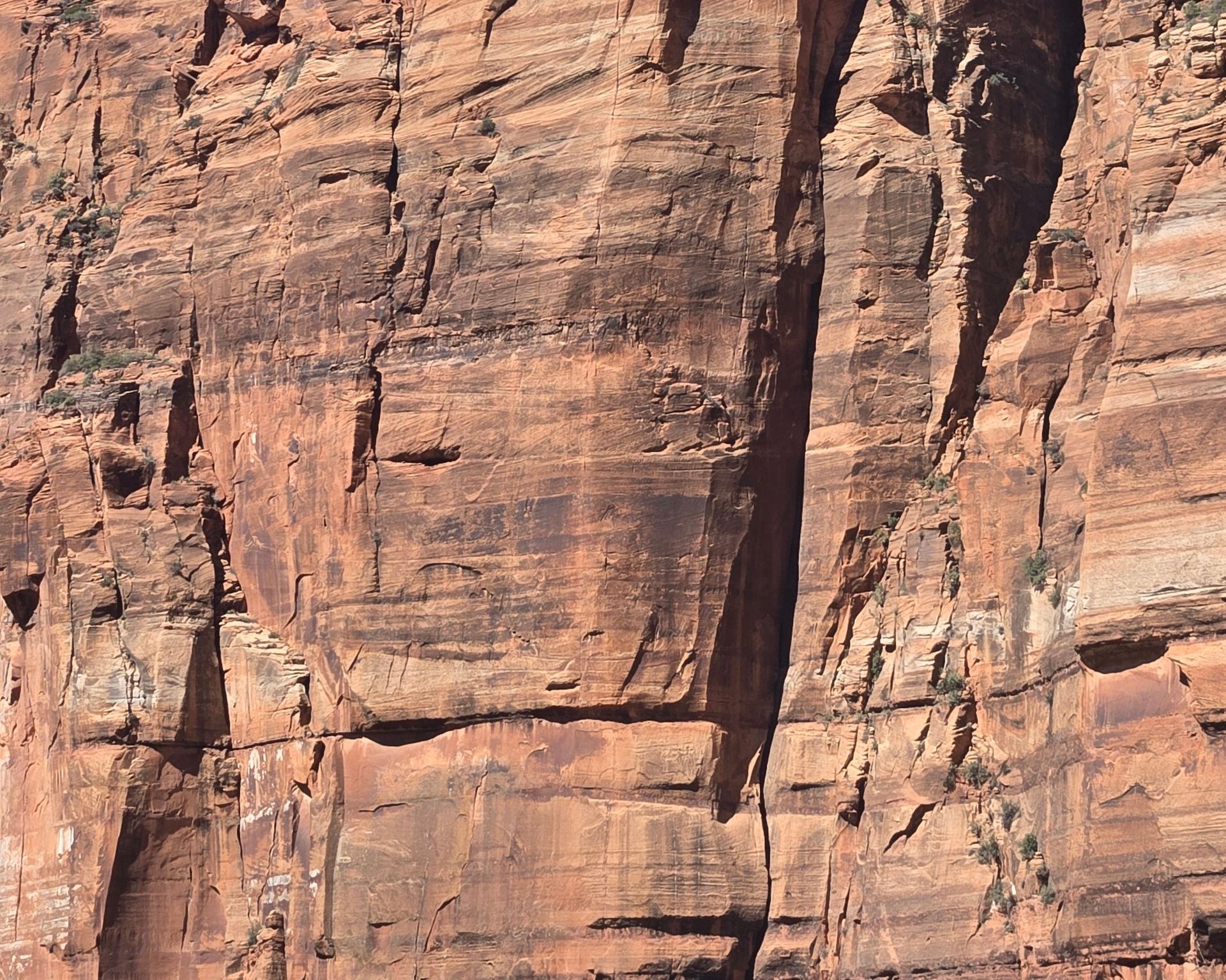
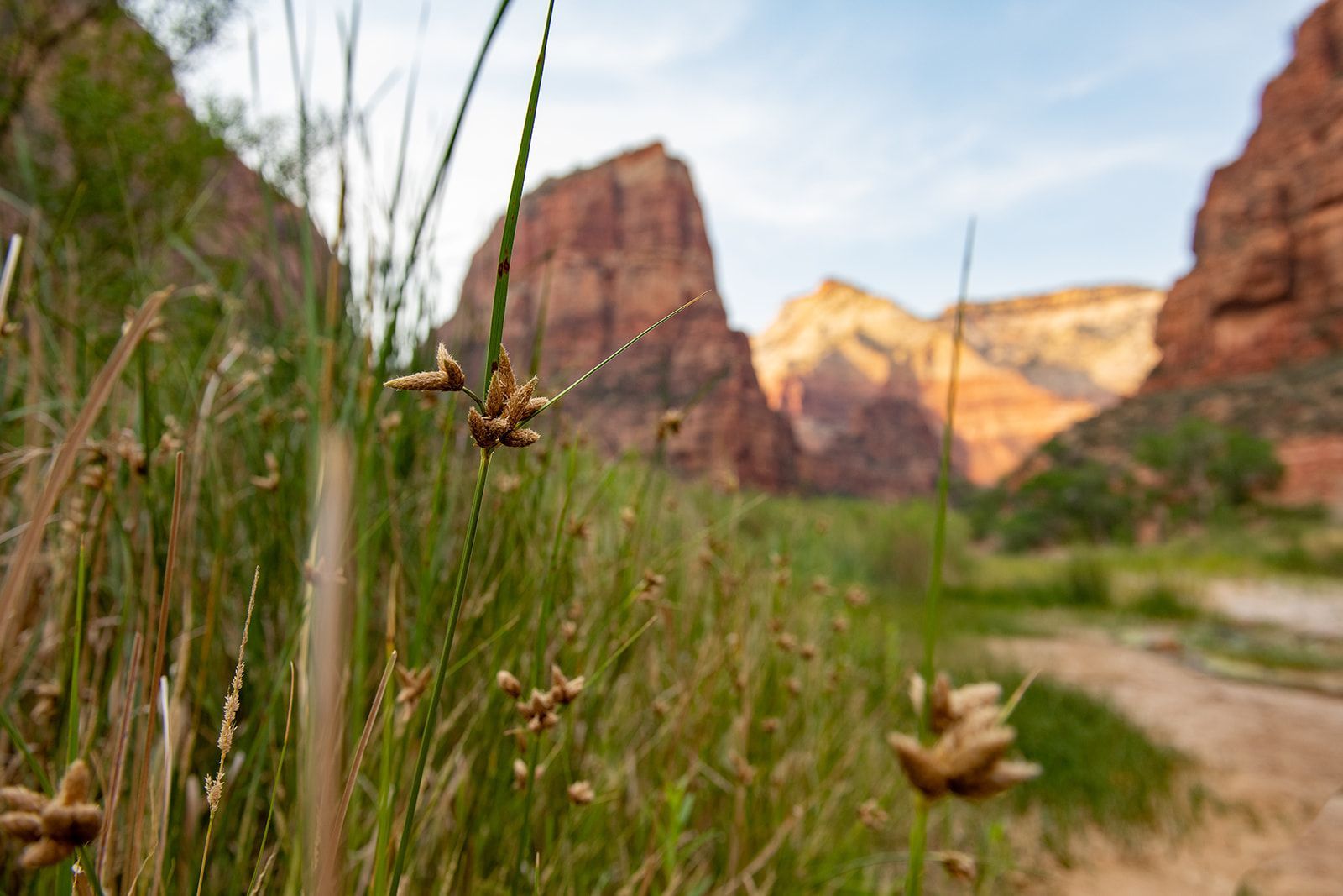
Discover the fascinating geology of Zion National Park—learn how tectonic uplift, ancient deserts, and the Virgin River shaped this breathtaking landscape.
Explore Zion National Park’s rich history and breathtaking landscapes! Discover its towering sandstone cliffs, ancient cultures, and conservation legacy. Plan your adventure today with All Ways Adventures!
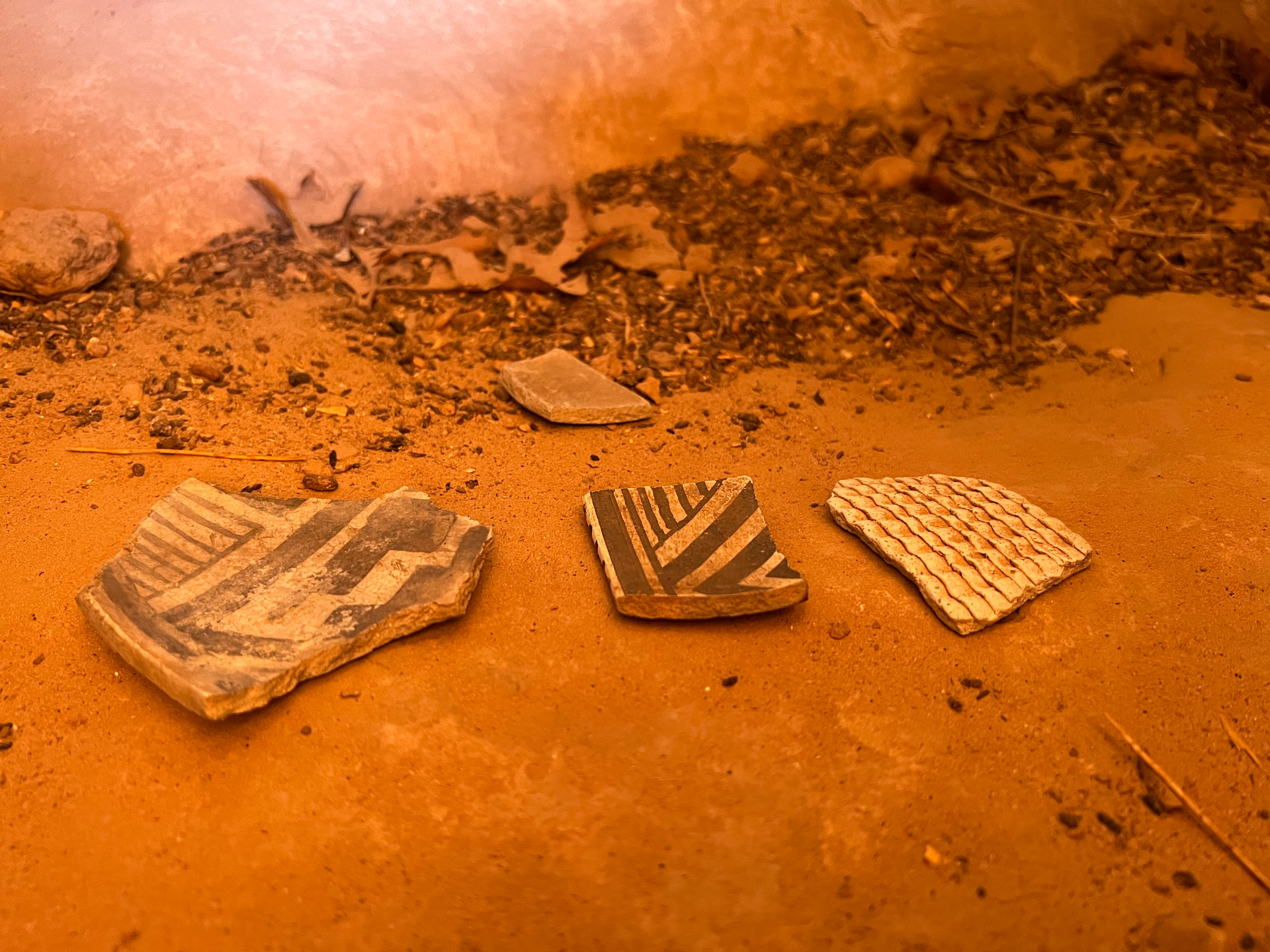
Explore the Southwest's rich history with respect. Learn how to visit sacred Native American sites responsibly and help preserve the land and cultural heritage for future generations.
Discover Zion National Park's incredible wildlife, from majestic bighorn sheep to soaring condors. Learn where to spot them and best viewing practices.
Explore Zion National Park year-round! Discover seasonal highlights, weather tips, must-do hikes, and how to plan the perfect adventure rain or shine.
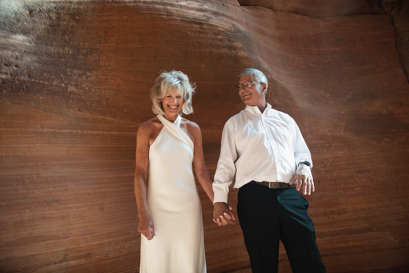
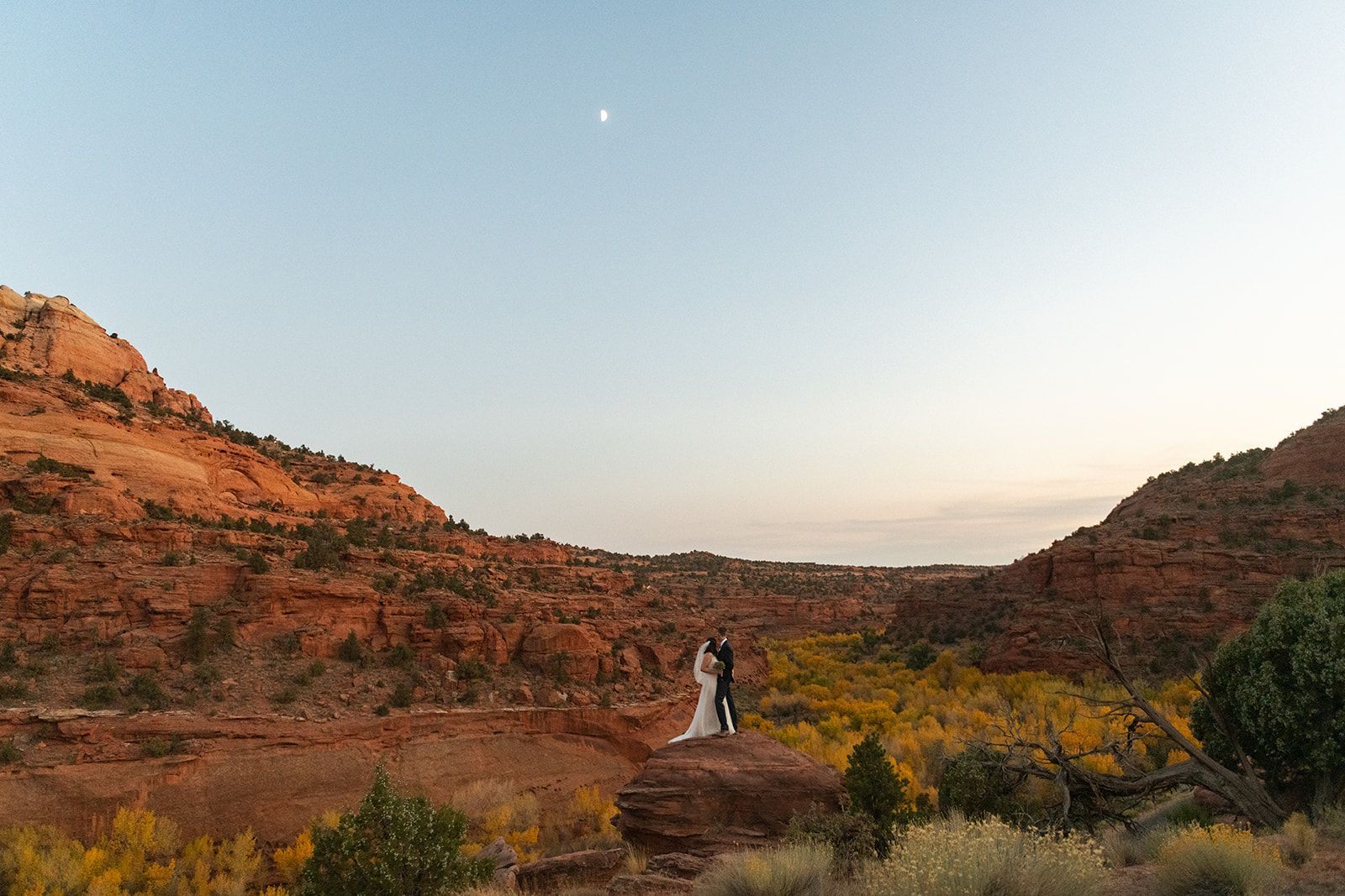
Say ‘I do’ with a breathtaking Zion Utah wedding or elopement. Embrace epic landscapes and adventure elopement ideas that make your big day truly unforgettable.